Introduction
Hey hikers! Are you ready for an exciting adventure? Hong Kong Trail 298 is a free-to-enter event that will have you sweating it out on Hong Kong's four major hiking trails! These trails are: the MacLehose Trail (100km), the Wilson Trail (78km), the Lantau Trail (70km), and the Hong Kong Trail (50km), totaling 298km! But don't worry, we won't make you do it all at once.
This event, meticulously designed by Run2gather, features multiple GPS checkpoints along each trail waiting for you to conquer! The event will run for a full 12 months, and participants only need to download the R2 App and check in at the designated checkpoints. Upon completing each trail, you'll receive fantastic gifts or cash vouchers from our sponsors – how exciting is that?!
Furthermore, if you manage to complete all the checkpoints on all four trails during the event period, you'll be invited to an awards ceremony and celebratory dinner in December 2025, where even more surprises await!
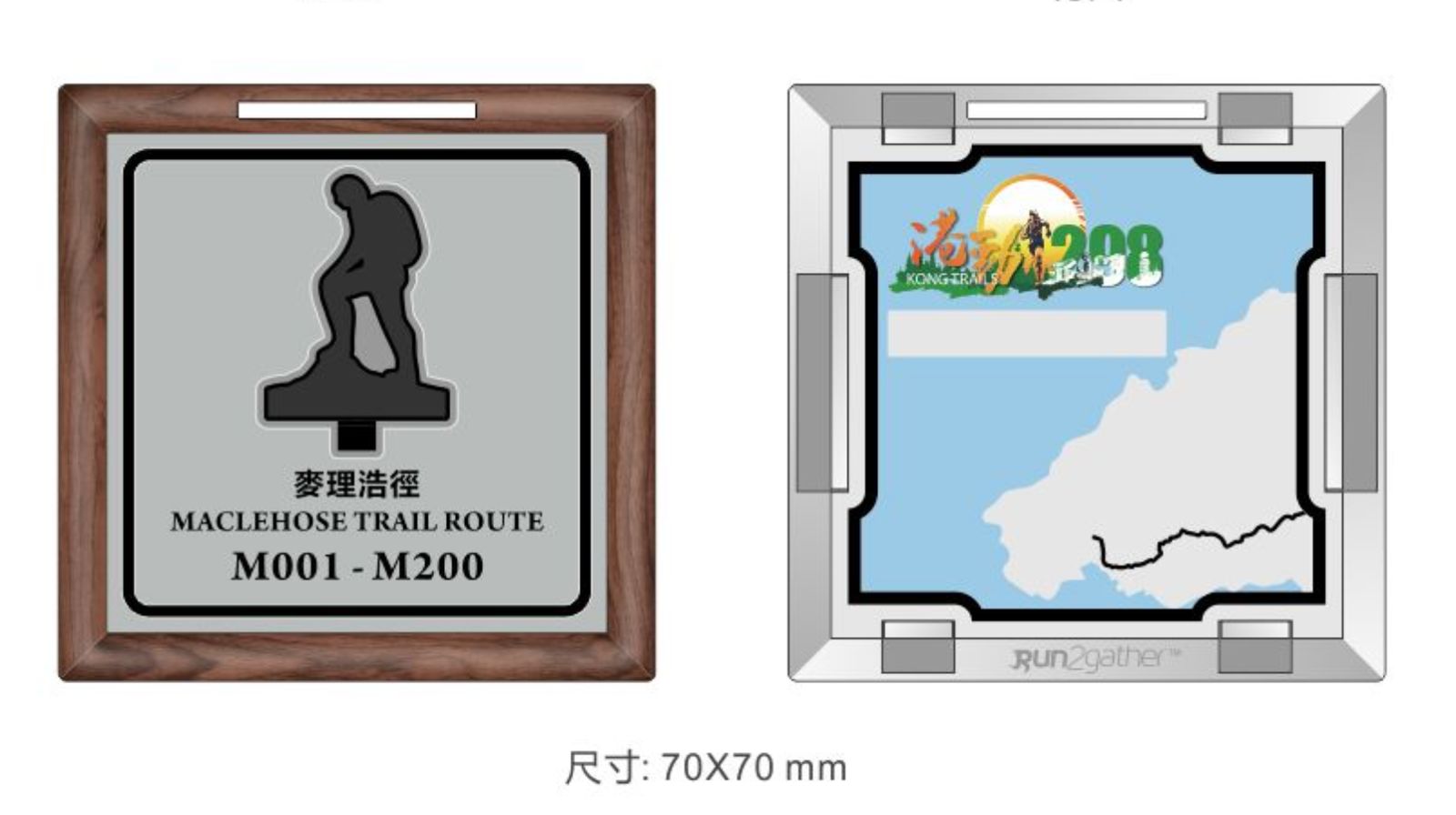
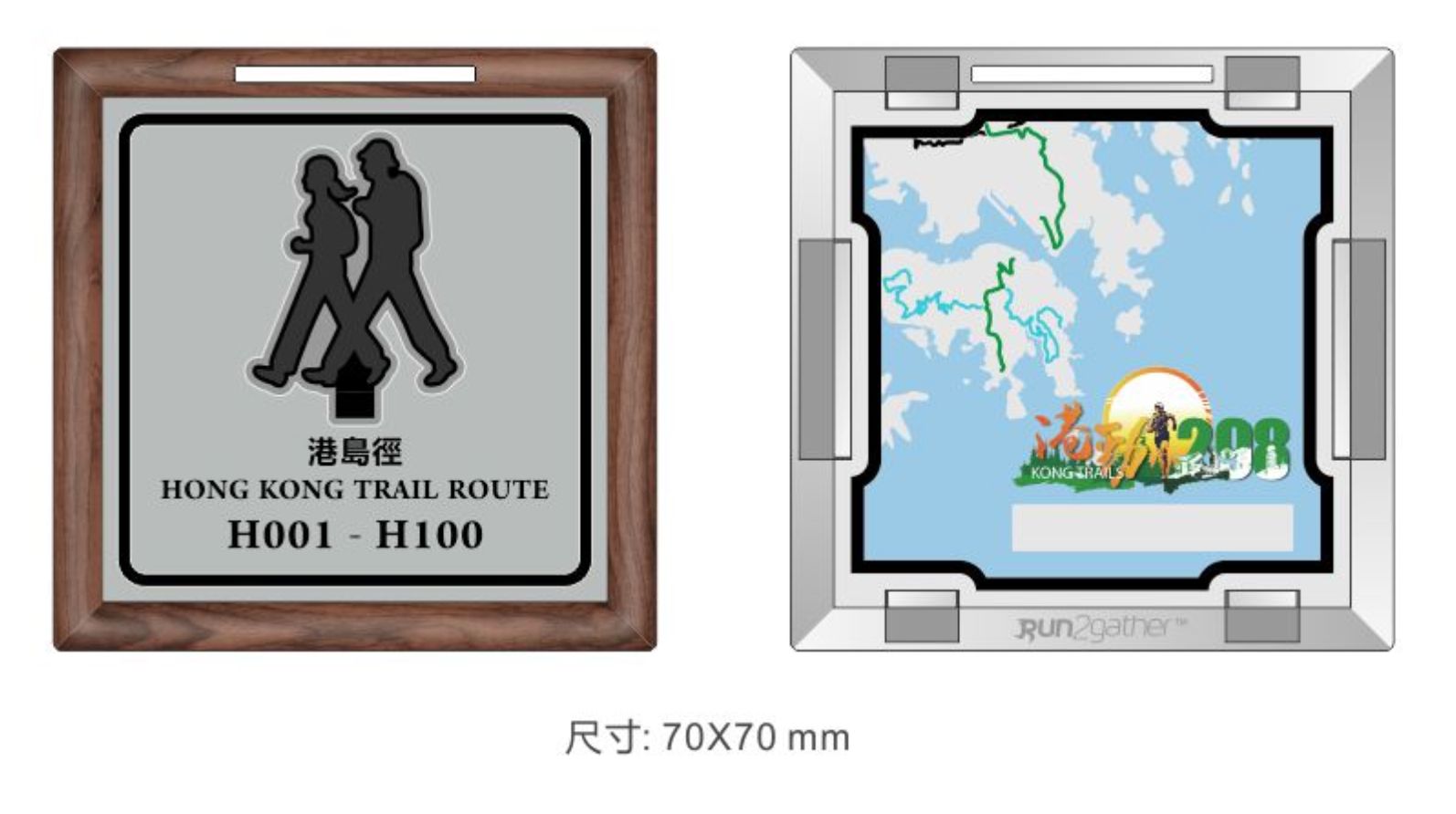
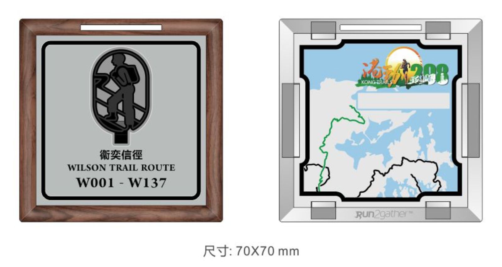
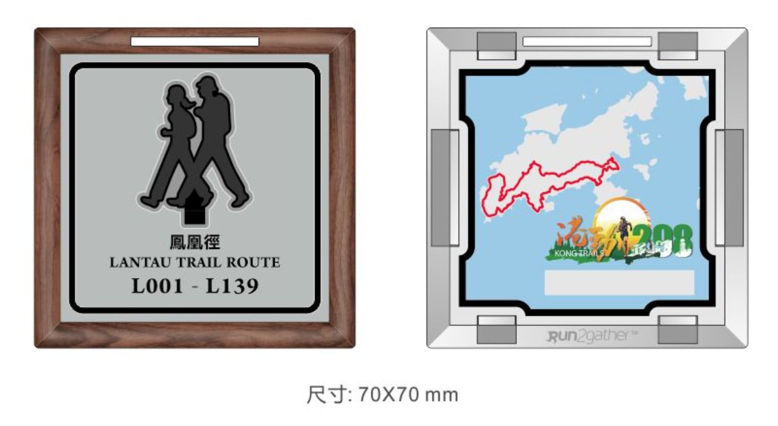
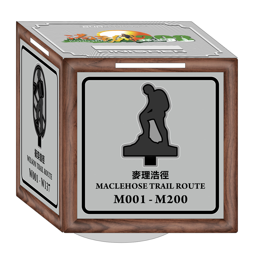
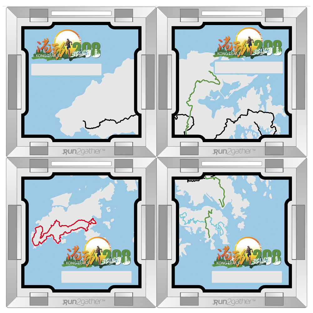
Want even cooler gear? You can also purchase our specially selected products! These include finisher medals engraved with your name, which you can register to receive immediately upon completing each trail! There are four medals in total, and collecting the whole set allows you to piece together a beautiful map of Hong Kong, letting you show off your accomplishments to your friends!
Join us and let's sweat it out in the wilderness, reaping surprises and joy!
MacLehose Trail
The MacLehose Trail is a 100-kilometre hiking trail that crosses much of the New Territories, Hong Kong, starting from Pak Tam Chung, Sai Kung District in the east to Tuen Mun Town, Tuen Mun District in the west. It is the longest trail in Hong Kong and the path is marked by distance posts at 500-metre intervals. The trail is named after Murray MacLehose, Baron MacLehose of Beoch, the longest-serving governor of Hong Kong, who established the Country Parks and was himself an enthusiastic hiker. The trail passes through a variety of natural scenery including beaches and mountains.
The MacLehose Trail starts in Pak Tam Chung, then weaves its way anticlockwise around the Sai Kung peninsula. It then hugs the Sai Kung district border with Sha Tin, until it meets the mountains separating Kowloon and the New Territories. The trail proceeds along the mountain range, culminating in an ascent up to the highest point in Hong Kong, Tai Mo Shan. The trail then winds its way to Tuen Mun in the western end of the New Territories, following a catchwater for much of its last section.
Source: wikipedia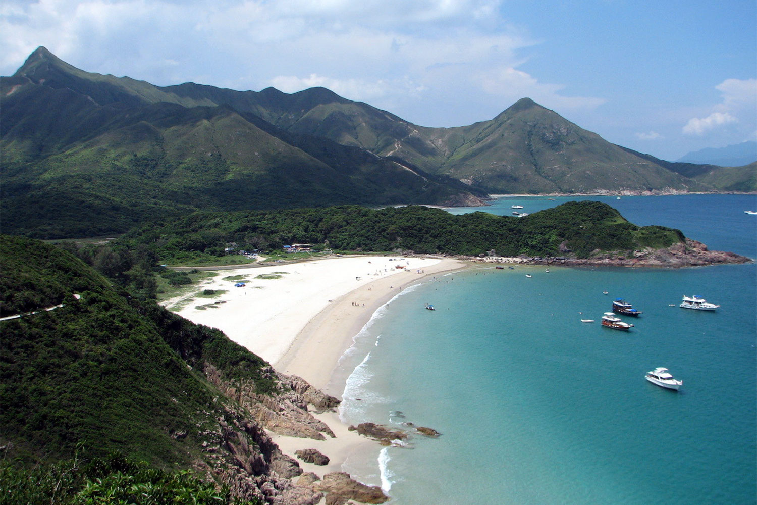
Hong Kong Trail
The Hong Kong Trail, opened in 1985, is a long-distance footpath from Victoria Peak to Big Wave Bay on Hong Kong Island. It is a 50-kilometre (31 mi) walking route which passes through the five country parks on Hong Kong island.The trail is extremely popular with local residents for its unique combination of well-marked paths (with reassuring trail markers every half-kilometre) through verdant woods that offer relief from the sun on sunny days, and featuring numerous streams and waterfalls. The trail offers a wide variety of terrain — it can be steep at some parts, flat at others, with both gradual ascents and descents. The trail takes a very indirect route; termination points Victoria Peak and Big Wave Bay are less than 11 km apart. Because the trail is composed of eight sections, much shorter runs or hikes are possible. The popular running path on Bowen Road connects to both Sections 3 and 4 via the steep ascent up the Wan Chai Gap Trail. The best detailed guidebook, which breaks down each of the eight sections with detailed notes, maps and photos, is The Serious Hikers Guide to Hong Kong (the book also outlines three other 50 km+ hiking trails in Hong Kong — the Wilson, the Maclehose, and the 70-km long trail that circumnavigates Lantau Island. In 2013, Hong Kong Trail was awarded the 10th best city hiking trail in the world by Lonely Planet.
Source:wikipedia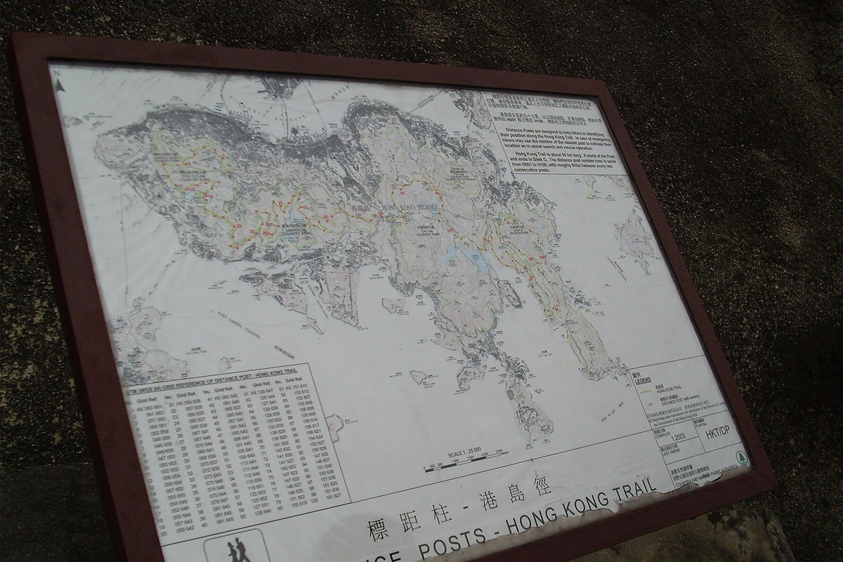
Lantau Trail
The Lantau Trail (Chinese: 鳳凰徑), opened on 4 December 1984, is a long-distance footpath on Lantau Island in the New Territories of Hong Kong. The 70 kilometres (43 mi) trail is a loop starting and finishing in the rural town of Mui Wo. It is the third longest trail in Hong Kong, after MacLehose Trail and Wilson Trail. The Lantau Trail has good visitor facilities along the way, and the route is well marked. There are information boards and maps at junctions between each stage. Distance posts around 500 metres apart help hikers know where they are. At each turning, route signs give instructions about directions, place names, and the distances and times for hiking between various locations.
Source:wikipedia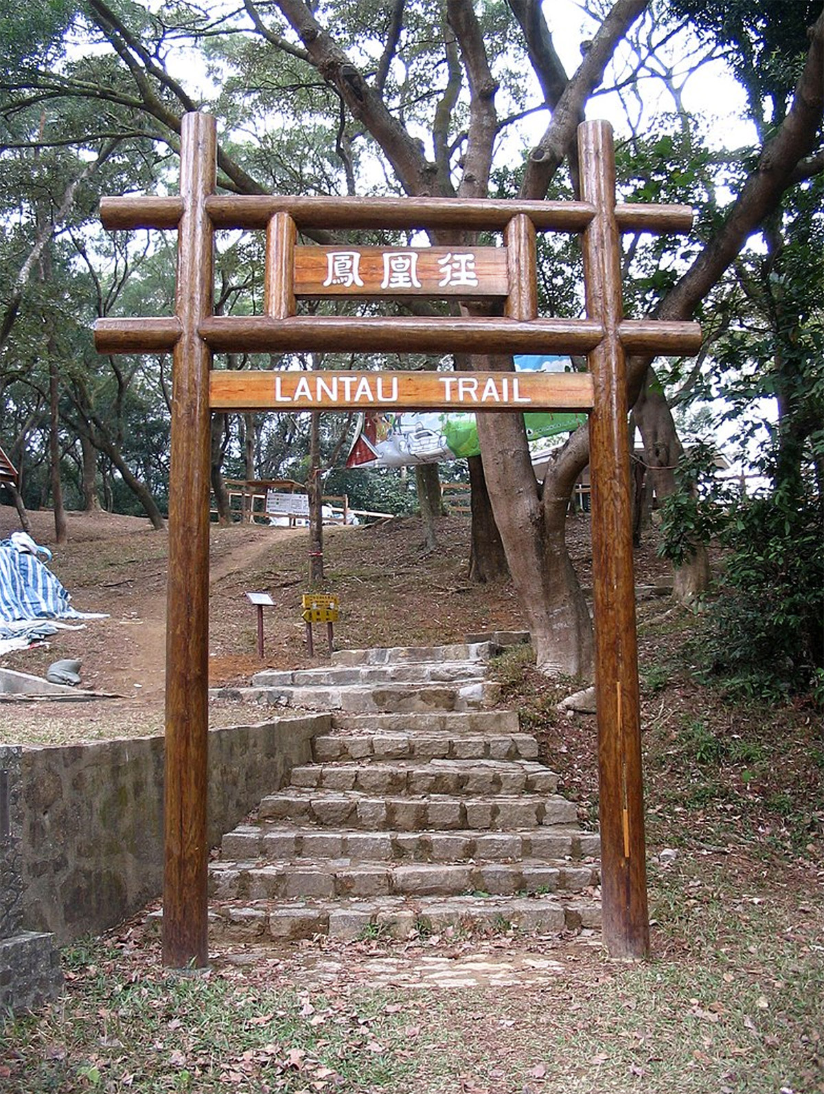
Wilson Trail
The Wilson Trail (Chinese: 衛奕信徑) is a 78-kilometre (48 mi) long-distance footpath in Hong Kong, 63 km of which runs through Hong Kong country parks.[1] It was named after David Wilson, Baron Wilson of Tillyorn, who was penultimate Governor of Hong Kong from 1987 to 1992. The Wilson Trail was developed by Friends of the Country Park and sponsored by various private organisations. The construction work of the trail began in 1994. The Wilson Trail was first opened on 21 January 1996.
In all, the Wilson Trail traverses eight of the Country Parks. On Hong Kong Island, Tai Tam Country Park and the adjacent Quarry Bay Country Park begin the journey. Across the harbour, there is a gap where the trail runs through hills outside the parks. Then come the three parks named Ma On Shan, Lion Rock, and Kam Shan. In the central New Territories, the Wilson Trail heads north through Shing Mun Country Park and Tai Mo Shan Country Park. Finally it climbs into the majestic Pat Sin Leng Country Park. Each of the Country Parks the Wilson Trail traverses has its individual character and appeal – offering, as one proceeds from south to north, changing settings with much of interest.
Source:wikipedia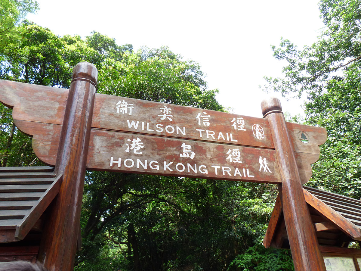
Event Details
| Event Date:: | 9/11/2024 (12:00am GMT+08) – 31/10/2025 (11:59pm GMT+08) |
|---|---|
| Event Content: | 走訪四徑,並在指定地點打卡 |
| MacLehose Trail: | Exploring the Maclehose Trail? Here are the designated checking point locations (The locations can be visited in any order along the route):
|
| Event Content: | Exploring the Hong Kong Trail? Here are the designated checking point locations (The locations can be visited in any order along the route):
|
| Lantau Trail: | Exploring the Lantau Trail? Here are the designated checking point locations (The locations can be visited in any order along the route):
|
| Wilson Trail: | Exploring the Wilson Trail? Here are the designated checking point locations (The locations can be visited in any order along the route):
|
| How to play: | Participants must visit all the check points during the event to complete the activity successfully. |
| Registration Fee: | Free |
| Number of participants: | No limited |
| Event gifts: |
|
| Registration Deadline: | 30/9/2025 11:59 PM (GMT+08) |
| Delviery time: | TBC |
Routes
MacLehose Trail
Sections of the MacLehose Trail
| Section | Route | Length (km) | Time (hr) | Difficulty | Starting Post | Ending Post |
|---|---|---|---|---|---|---|
| 1 | Pak Tam Chung → Long Ke | 10.6 | 3 | 000 | 020/021 | |
| 2 | Long Ke → Pak Tam Au | 13.5 | 5 | 020/021 | 048/049 | |
| 3 | Pak Tam Au → Kei Ling Ha | 10.2 | 4 | 048/049 | 068/069 | |
| 4 | Kei Ling Ha → Tai Lo Shan | 12.7 | 5 | 068/069 | 094 | |
| 5 | Tai Lo Shan → Tai Po Road | 10.6 | 3 | 094 | 115/116 | |
| 6 | Tai Po Road → Shing Mun | 4.6 | 1.5 | 115/116 | 124 | |
| 7 | Shing Mun → Lead Mine Pass | 6.2 | 2.5 | 124 | 137 | |
| 8 | Lead Mine Pass → Route Twisk | 9.7 | 4 | 137 | 156 | |
| 9 | Route Twisk → Tin Fu Tsai | 6.3 | 2.5 | 156 | 168/169 | |
| 10 | Tin Fu Tsai → Tuen Mun Town | 15.6 | 5 | 168/169 | 200 |
Sections of the Hong Kong Trail
| Section | Route | Length (km) | Time (hr) | Difficulty | Starting Markers | Ending Markers |
|---|---|---|---|---|---|---|
| 1 | The Peak → Pok Fu Lam Reservoir | 7.0 | 2 | H001 | H014 | |
| 2 | Pokfulam Reservoir → Peel Rise | 4.5 | 1.5 | H015 | H025 | |
| 3 | Peel Rise → Wan Chai Gap | 6.5 | 1.75 | H026 | H037 | |
| 4 | Wan Chai Gap → Wong Nai Chung Gap Road | 7.5 | 2 | H038 | H050 | |
| 5 | Wong Nai Chung Gap Road → Mount Parker Road | 4.0 | 1.5 | H051 | H059 | |
| 6 | Mount Parker Road → Tai Tam Road | 4.5 | 1.5 | H060 | H068 | |
| 7 | Tai Tam Road → To Tei Wan | 7.5 | 2 | H068 | H084 | |
| 8 | To Tei Wan → Tai Long Wan (Big Wave Bay) | 8.5 | 2.75 | H084 | H100 |
Sections of the Lantau Trail
| Stage | Route | Length (km) | Time (hr) | Difficulty | Starting Post | Ending Post |
|---|---|---|---|---|---|---|
| 1 | Mui Wo → Nam Shan | 2.5 | 0.75 | L000 | L005 | |
| 2 | Nam Shan → Pak Kung Au | 6.5 | 2.75 | L005 | L018 | |
| 3 | Pak Kung Au → Ngong Ping 360 | 4.5 | 2.75 | L018 | L027 | |
| 4 | Ngong Ping 360 → Sham Wat Road | 4.0 | 1.25 | L027 | L035 | |
| 5 | Sham Wat Road → Man Cheung Po | 7.5 | 2.75 | L035 | L050 | |
| 6 | Man Cheung Po → Tai O | 2.5 | 1.0 | L050 | L055 | |
| 7 | Tai O → Kau Ling Chung | 10.5 | 3.0 | L055 | L076 | |
| 8 | Kau Ling Chung → Shek Pik | 5.5 | 1.5 | L076 | L087 | |
| 9 | Shek Pik → Shui Hau | 6.5 | 2.0 | L087 | L100 | |
| 10 | Shui Hau → Tung Chung Road | 6.5 | 2.0 | L100 | L113 | |
| 11 | Tung Chung Road → Pui O | 4.5 | 1.25 | L113 | L122 | |
| 12 | Pui O → Mui Wo | 9.0 | 3.0 | L122 | L140 |
Sections of the Wilson Trail
| Section | Route | Length (km) | Time (hr) | Difficulty | Starting Marker | Ending Marker |
|---|---|---|---|---|---|---|
| 1 | Stanley → Wong Nai Chung Gap | 4.8 | 2.0 | W001 | W008 | |
| 2 | Wong Nai Chung Gap → Quarry Bay | 6.6 | 2.5 | W009 | W018 | |
| 3 | Devil's Peak → Tseng Lan Shue | 9.3 | 4.0 | W019 | W031 | |
| 4 | Tseng Lan Shue → Sha Tin Au | 8.0 | 3.0 | W032 | W046 | |
| 5 | Sha Tin Au → Tai Po Road | 7.4 | 2.5 | W047 | W060 | |
| 6 | Tai Po Road → Shing Mun Reservoir | 5.3 | 2.5 | W061 | W069 | |
| 7 | Shing Mun Reservoir → Yuen Tun Ha | 10.2 | 4.0 | W070 | W088 | |
| 8 | Yuen Tun Ha → Cloudy Hill | 9.0 | 4.0 | W089 | W105 | |
| 9 | Cloudy Hill → Pat Sin Leng | 10.6 | 4.5 | W106 | W125 | |
| 10 | Pat Sin Leng → Nam Chung | 6.8 | 2.0 | W126 | W137 |
- Easy
- Demanding
- Difficult
Reference: Wikipedia
Add-ons
MacLehose Trail Completion Medal with Name Engraved: $80 (You need to complete the designated check-in tasks during the event period to obtain it.)
Hong Kong Trail Completion Medal with Name Engraved: $80 (You need to complete the designated check-in tasks during the event period to obtain it.)
Wilson Trail Completion Medal with Name Engraved: $80 (You need to complete the designated check-in tasks during the event period to obtain it.)
Lantau Trail Completion Medal with Name Engraved: $80 (You need to complete the designated check-in tasks during the event period to obtain it.)
A set of four medals including upper cover and turntable base with engraved name: $400 (You need to complete the designated check-in task during the event period to obtain it.)
Hong Trails 298 Event Tee Men / Women Galechaser , Special Offer $168 (Original Price $200)

Hong Trails 298 Event Tee Men / Women Stream , Special Offer $168 (Original Price $200)

Hong Trails 298 Event Tee Men / Women Alpine , Special Offer $168 (Original Price $200)

Hong Trails 298 Event Tee Men / Women Dawn , Special Offer $168 (Original Price $200)

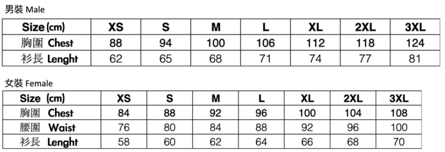
Hong Trails 298 Event Tee size chart
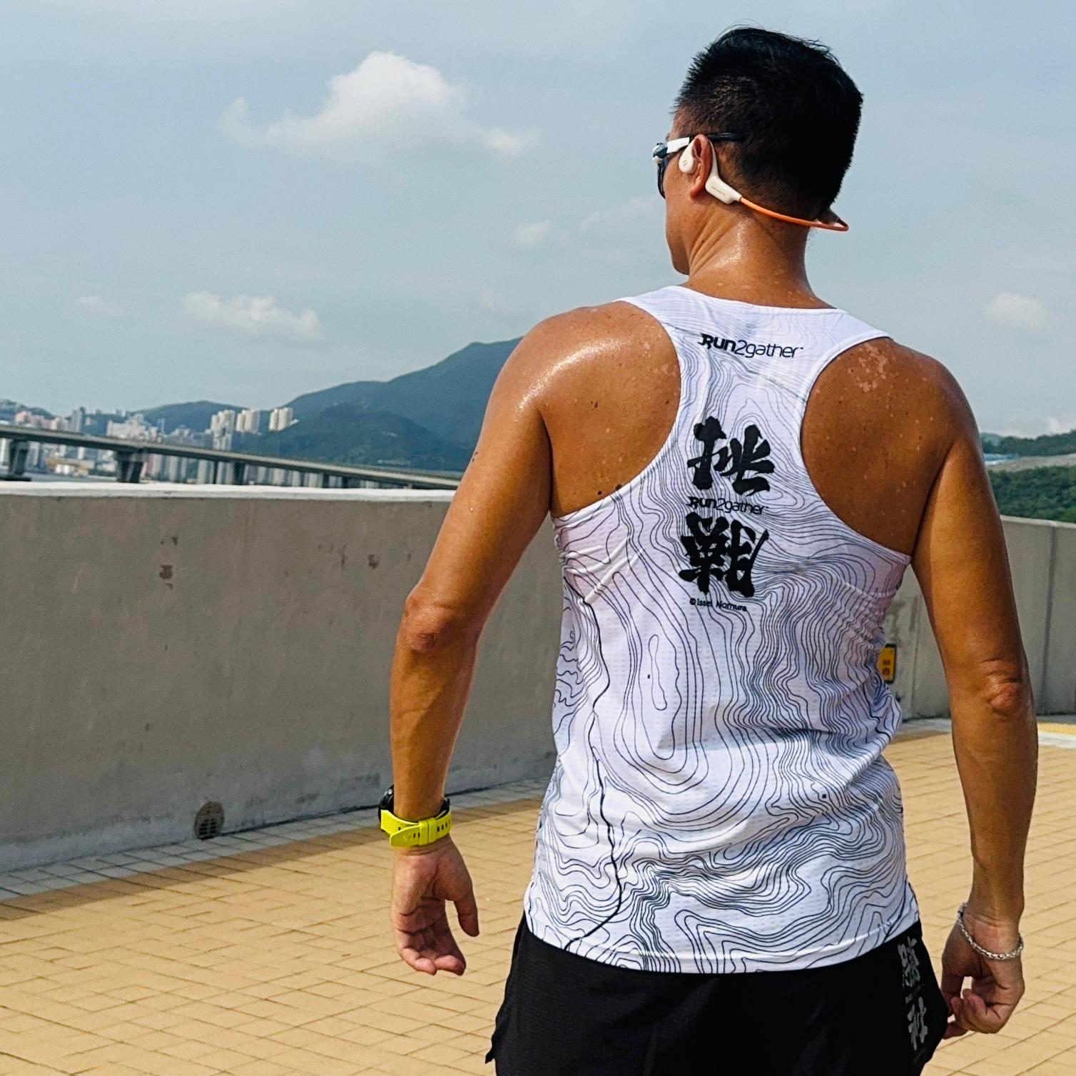
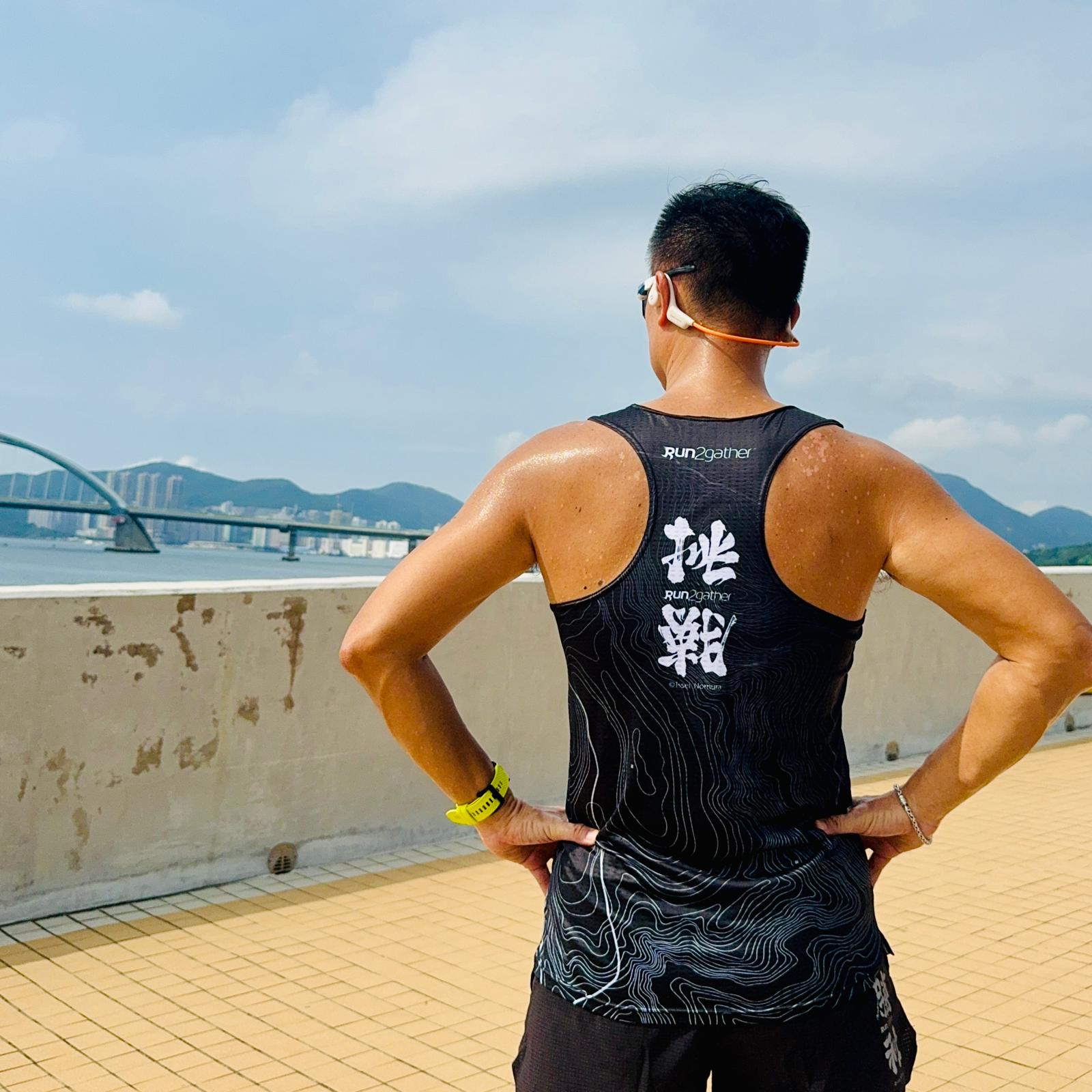
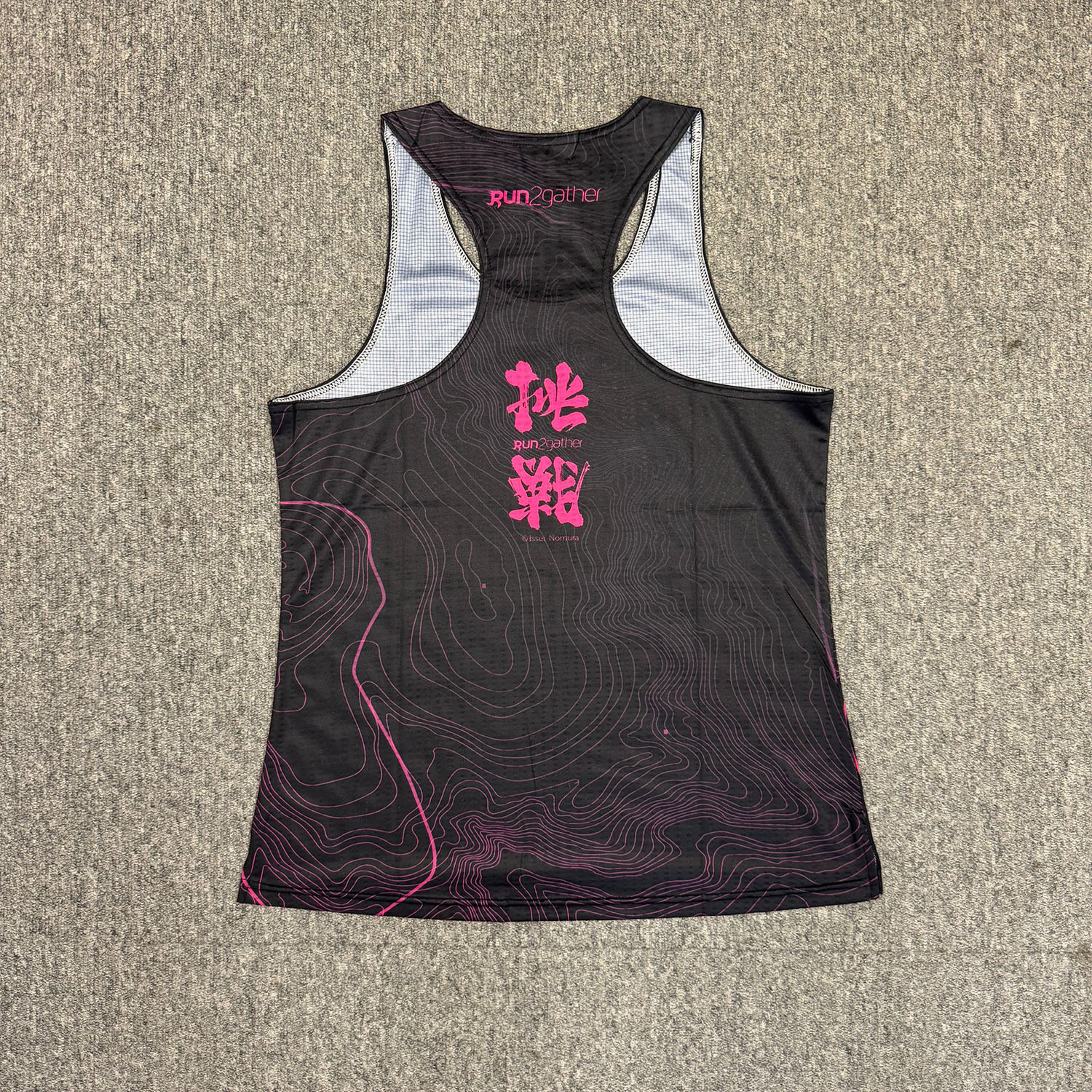
Challenge Victory Series 2 - Men’s and Women’s Running singlet, Special Offer $150 (Original Price $180)





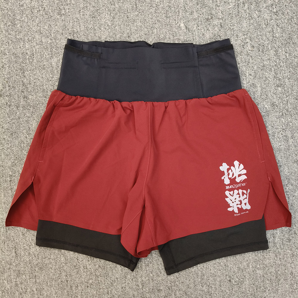
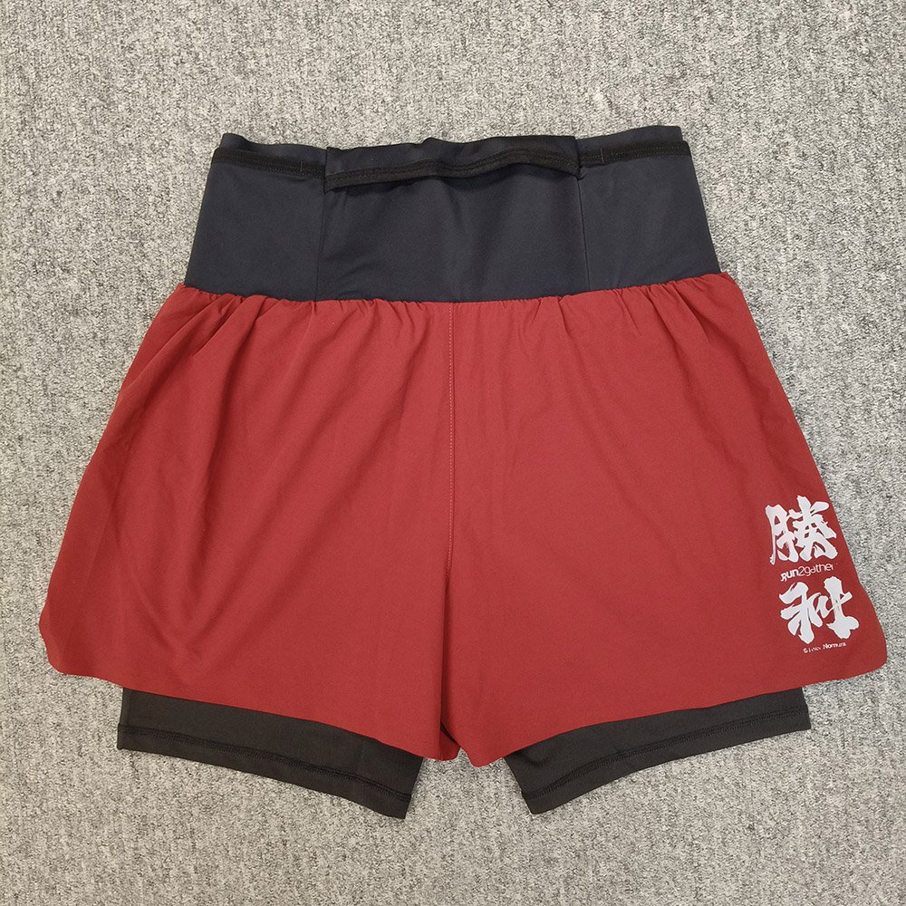
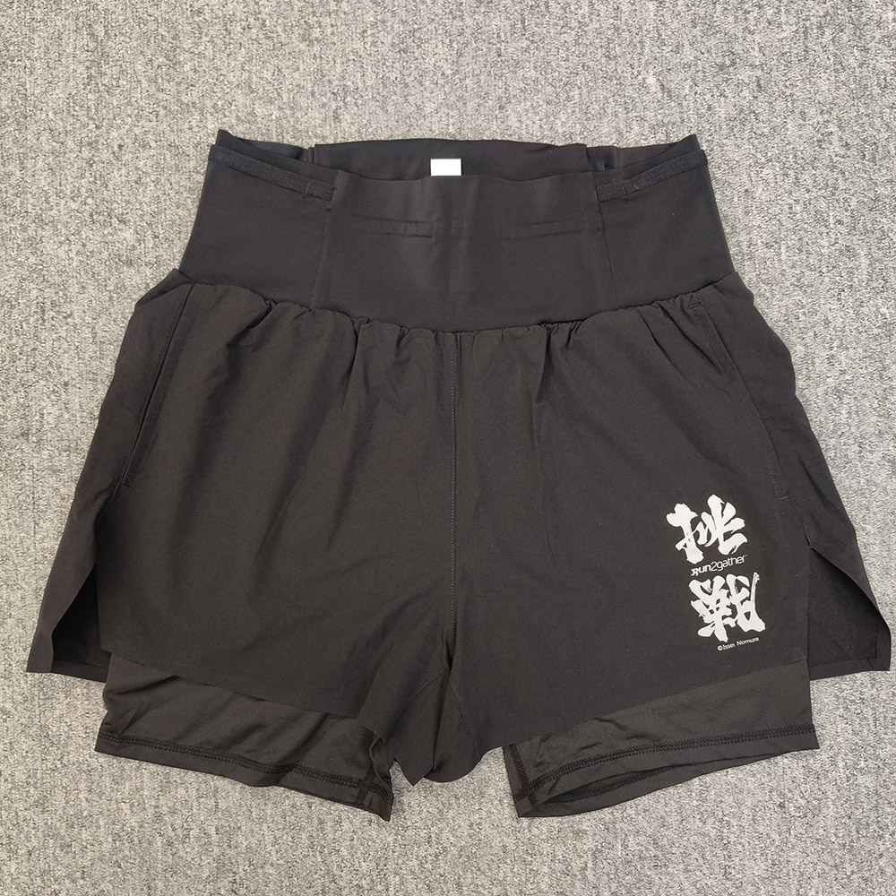
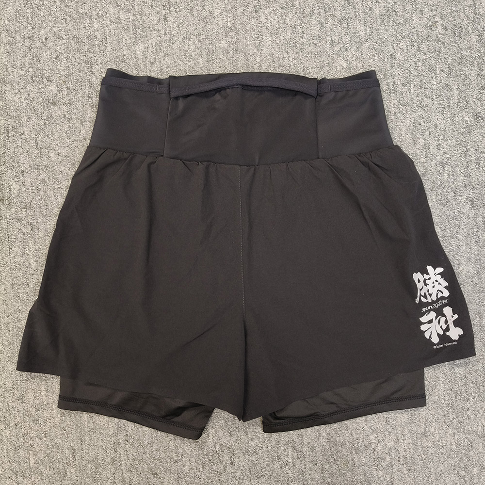
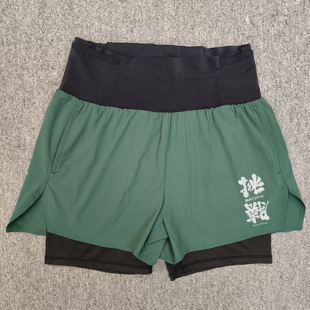
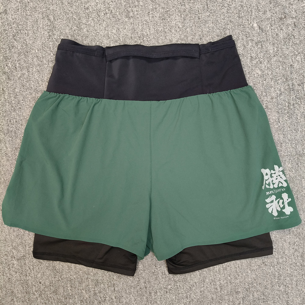
Challenge Victory Trail Running Shorts, Special Offer $298 (Original Price $380)
Red
Black
Green
Blue
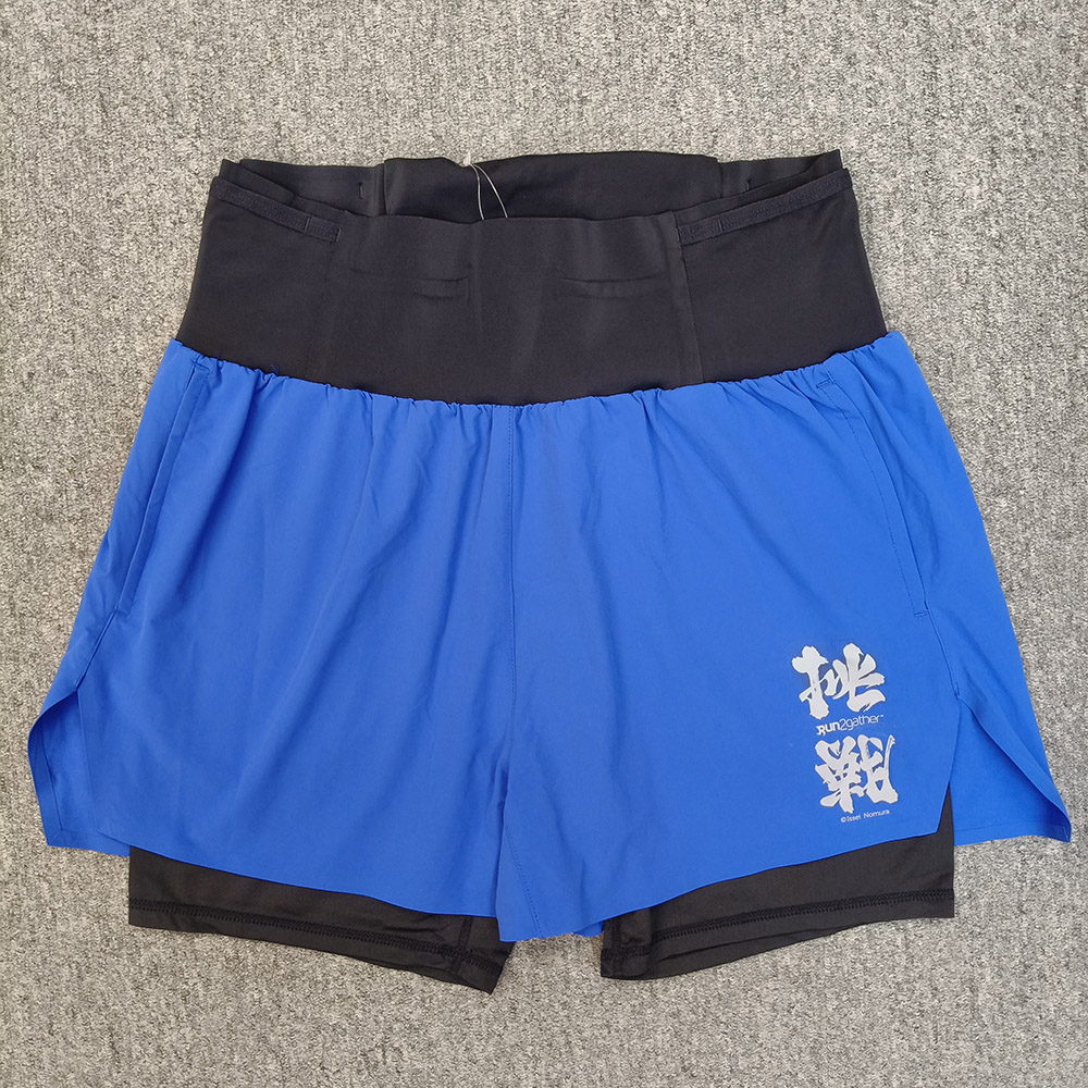
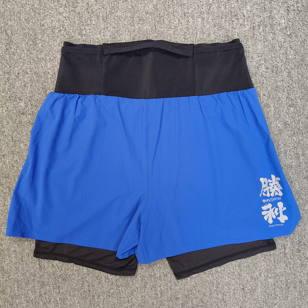
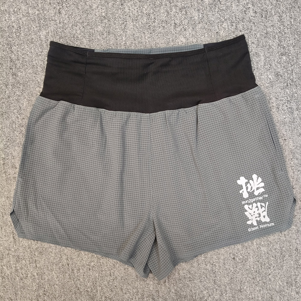
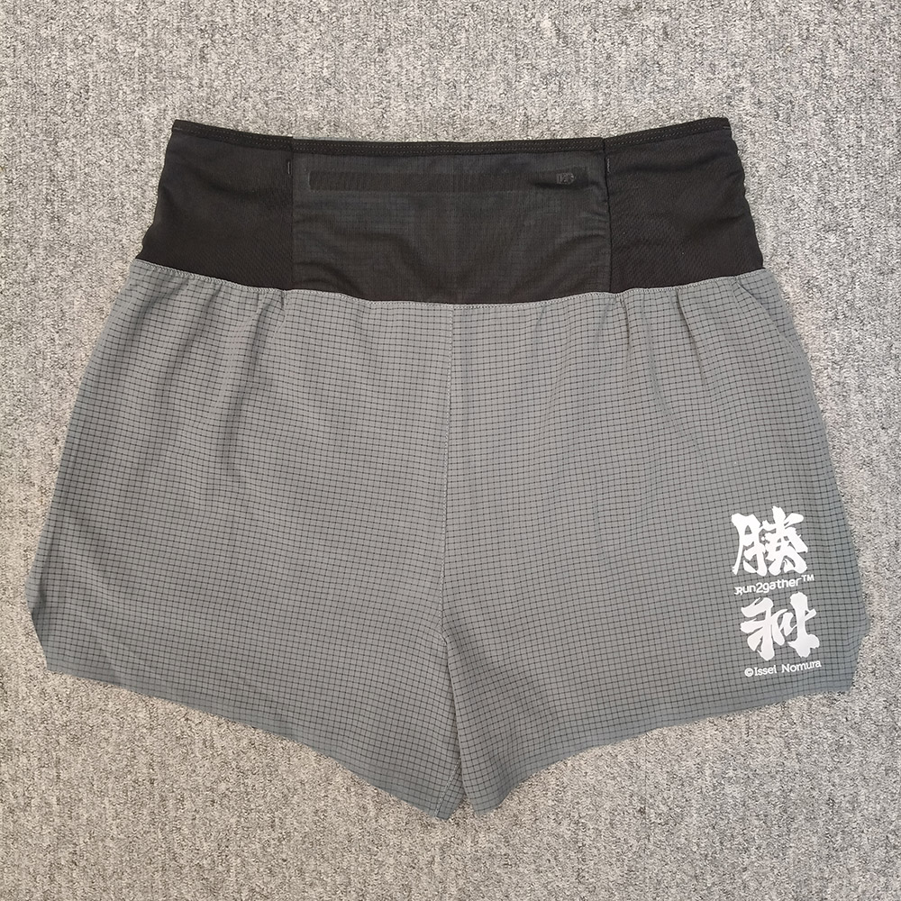
Challenge Victory Running Shorts, Special Offer $238 (Original Price $280)
Black
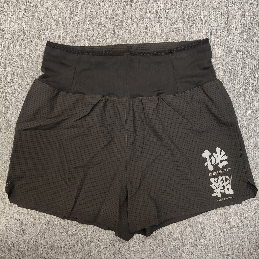
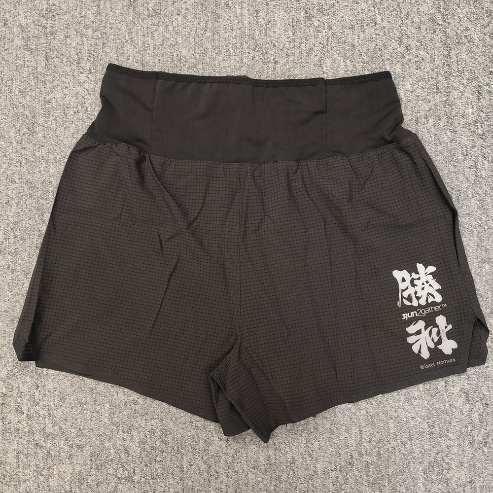
Grey
Garmin Forerunner 265sA17sic Black, Special Offer $3,150 (Original Price $3,799)

Garmin Forerunner 965 Black, Special Offer $4,150 (Original Price $4,999)

Garmin Fenix 8 43mm AMOLED Sapphire Carbon Gray DLC Titanium with Black Silicone, Special Offer $8,499 (Original Price $9,099)

Garmin Fenix 8 47mm AMOLED Sapphire Carbon Gray DLC Titanium with Black Silicone / Spark Orange , Special Offer $8,499 (Original Price $9,099)


Garmin Fenix 8 51mm AMOLED Sapphire Graphite DLC Titanium with Black Sillcone / Spark Orange Silicone , Special Offer $9,199 (Original Price $9,799)


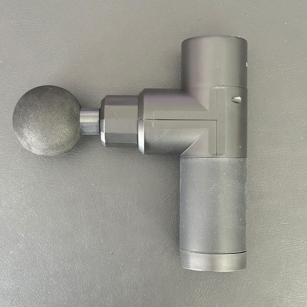
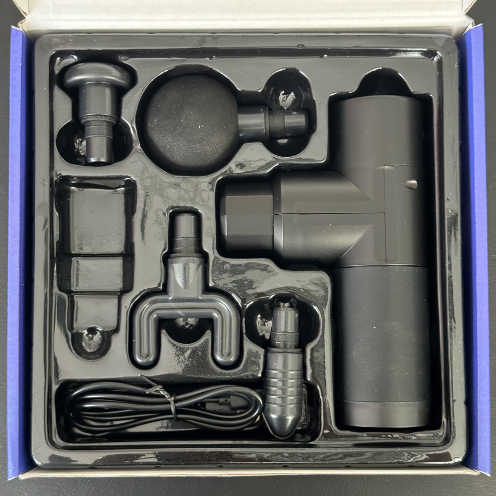
Run2gather massage gun , Special Offer $198 (Original Price $280)
Langsdom BE17 Open Ear Sport Bone , Special Offer $298 (Original Price $358)

- IPX8 Waterproof
- Swimming & Surfing Available
- Built-in 32G TF Card
- Special Underwater Sound
- Open-ended Design
- Bluetooth V5.4
- Stable Wearing
- Hong Kong Local 1 year warranty
NuWay 4HAIR® DoubleC® Iron Black , Special Offer $148 (Original Price $178)

Shi Mo Shu's exclusive and innovative teeth design allows you to easily and quickly achieve smooth, shiny hair!
The comb's teeth feature a dense, specialized design. Their patented super-elastic memory allows them to quickly bounce back to their original shape without deformation.
Additionally, the rounded tips of the teeth gently massage the scalp, promoting blood circulation in the hair follicles for healthier hair.
Black Diamond Distance Carbon Z Poles Unisex, Original Price $1699* Action Panda Special Offer $1090

Montebello wickron cool light cap, Original Price $360* Action Panda Special Offer $253

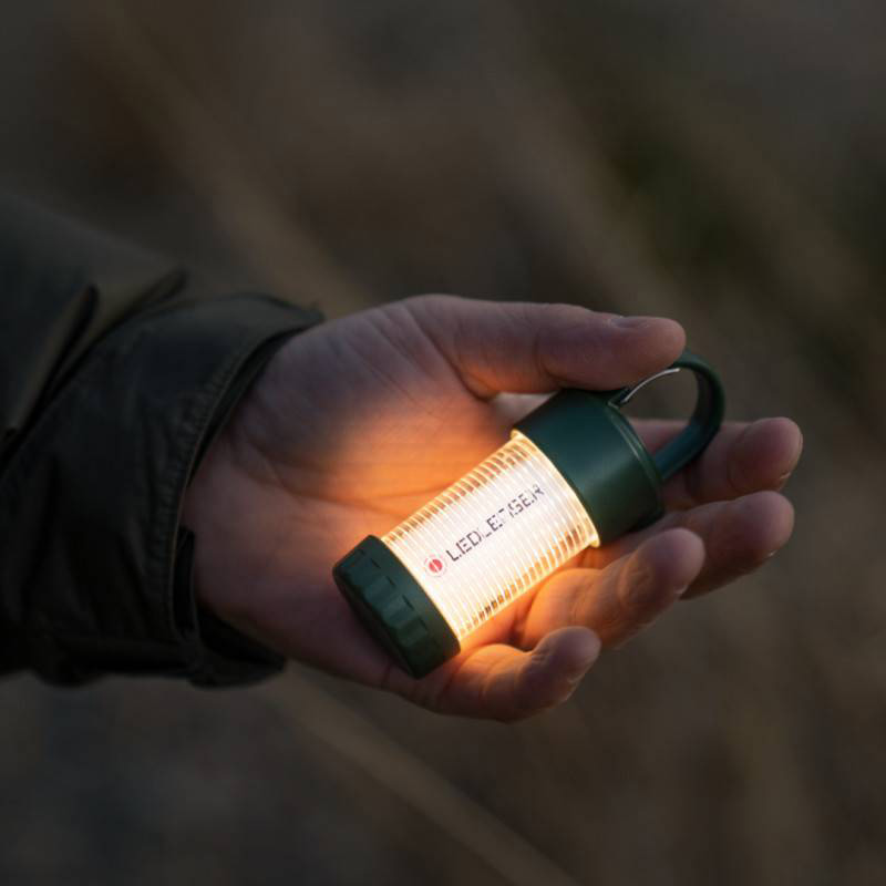
LEDLENSER ML4, Original Price $450* Action Panda Special Offer $198
Ultimate Direction Highland Vest, Original Price $1250* Action Panda Special Offer $825

Paago work Rush 11R, Original Price $1,850* Action Panda Special Offer $1,375
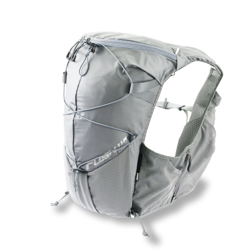
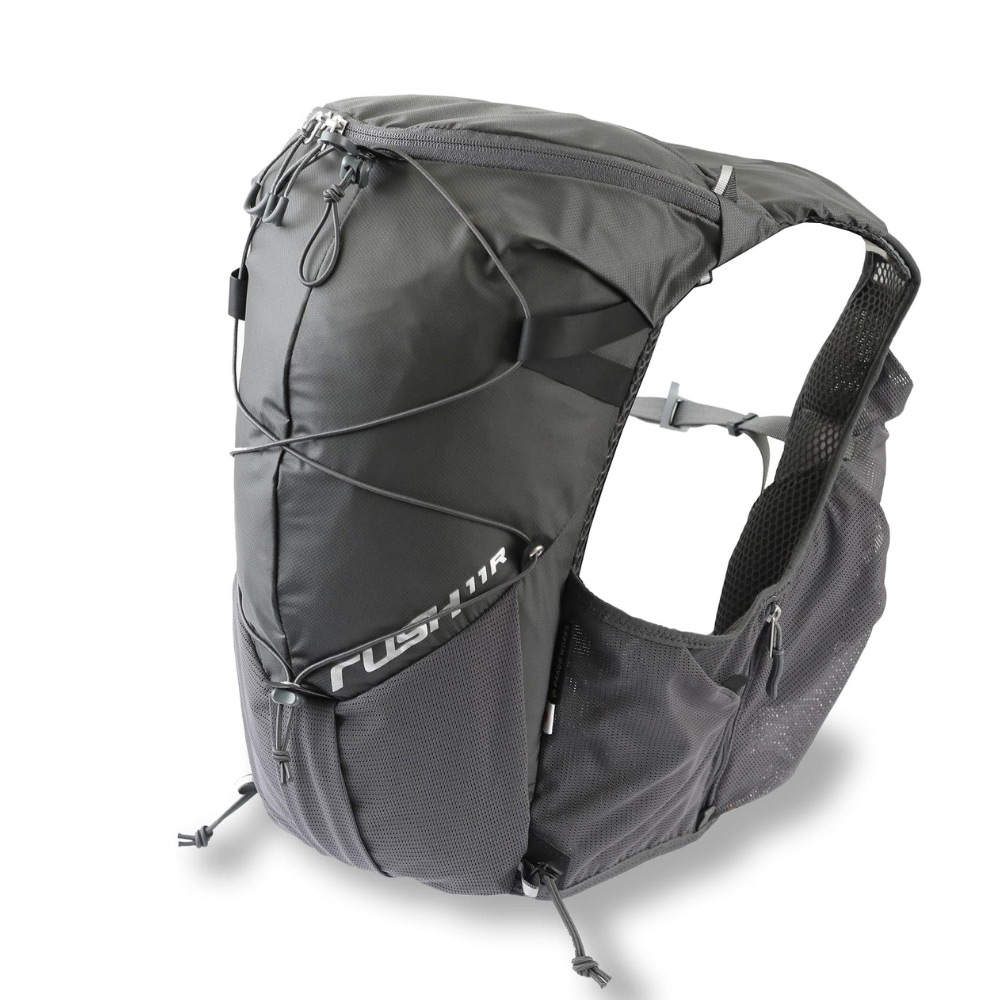
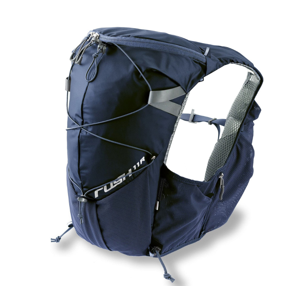
Paago work Rush 10, Original Price $1,380* Action Panda Special Offer $879


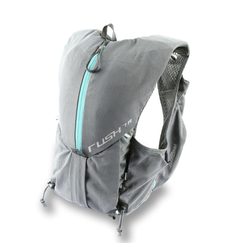
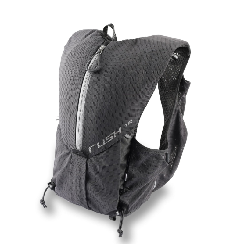
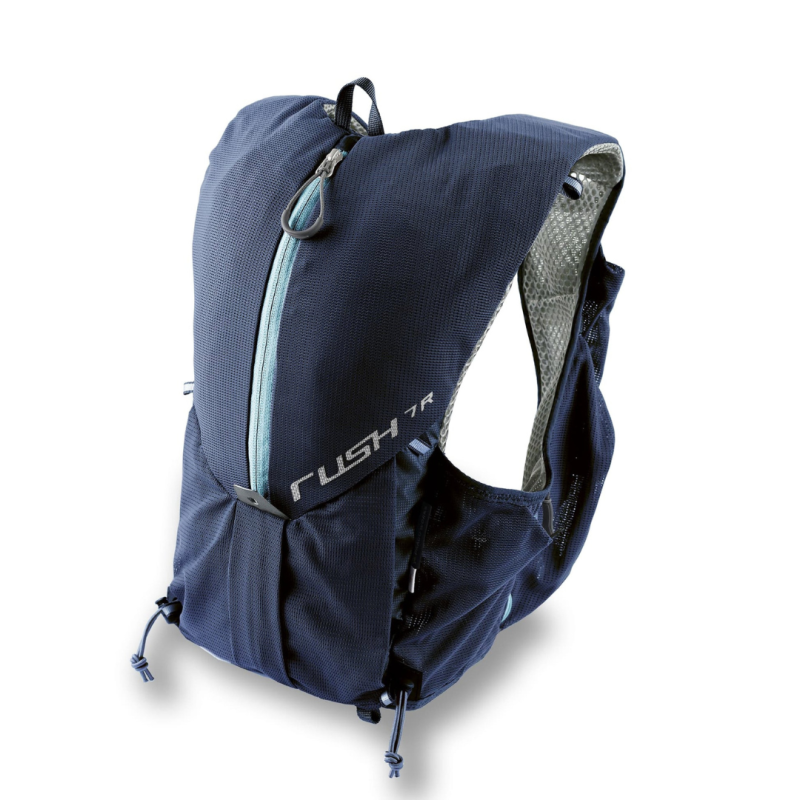
Paago work Rush 7R, Original Price $1,550* Action Panda Special Offer $1,155
Event Rules
- The event is divided into four trails (MacLehose Trail, Wilson Trail, Lantau Trail, and Hong Kong Trail). Each trail has a different number of checkpoints. Participants must use the R2 App (or sync data from Strava, Garmin Connect, Coros, or Polar Flow via the R2 app) to check in at these checkpoints within the event period.
- Each participant can download a digital bib number from their R2 App account. For each check-in, in addition to using the R2 App's location feature, participants must also take a selfie holding their bib number and upload it to their account.
- Participants can complete each trail in multiple sessions, with a minimum of one checkpoint per session.
- There is no designated route, but we recommend participants follow the original routes of the four trails. Participants can choose their own starting points and directions.
- Upon completing all designated checkpoints for a trail, a gift redemption code input field will appear in the system. Participants can then redeem their completion gift at designated locations.
- Participants must be nine years old or above. Participants aged nine to seventeen must be accompanied by a parent or guardian aged eighteen or above for each check-in activity.
- Participants should not participate alone. Each check-in activity must be done with at least one other person.
Event Sponsor


