Introduction
| Event date: | 01/10/2024 (12:00am GMT+08) – 15/12/2023 (11:59pm GMT+08) |
|---|---|
| Event Contents: | Task 1:During the activity period, choose your own route and time. Use the R2 App (or other approved tracking apps) to record your miles, aiming to accumulate at least 20 kilometers by walking or running (you can choose your route and time, and it can be recorded in multiple sessions). Task 2:Complete a "check point" task at the following locations. Particepants can plan their routes and it can also be completed in multiple sessions.
|
| Registration fee: | HKD280 (Early bird price start from now on until 30/9/2024) HKD350 (01/10/2024 to 20/11/2024) |
| Racer pack: |
If you come to the Run2gather office collect the racer pack, you will receive an additional random gift. |
| Finisher Gift: | Finish medal |
| Event time: | Event period |
| Event result: | The announcement is scheduled to be made on December 15, 2024 (tentative), via the Run2gather Facebook and Instagram pages, and participants who completed the activity will also be notified via email. |
| Registration period: | Registration will close on 20/11/2024(11:59pm GMT+08) |
| Experience Date: | 01/12/2024 (tentative). |
| Time of uploading result: | From October 01, 2024 (12:00 AM GMT+08) to December 16, 2024 (11:59 PM GMT+08). |
| Time of picking up or shipping: | Approximately mid to end of January 2025. |
Medal


Racer pack
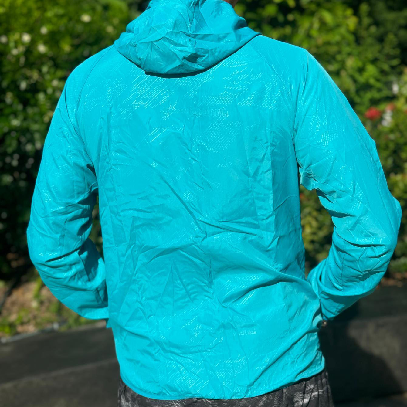
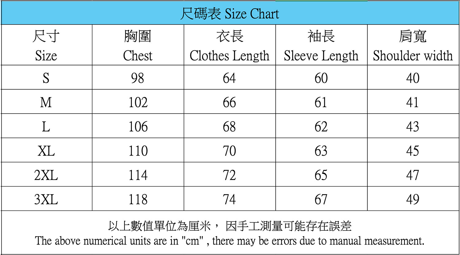
Event Light Jacket x1


Electric fan x1

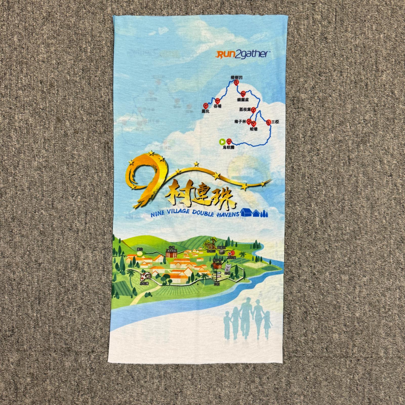
A multi-purpose scarf
Recommend Route (around 20 KM)
Download GPX fileWu Kau Tang Village
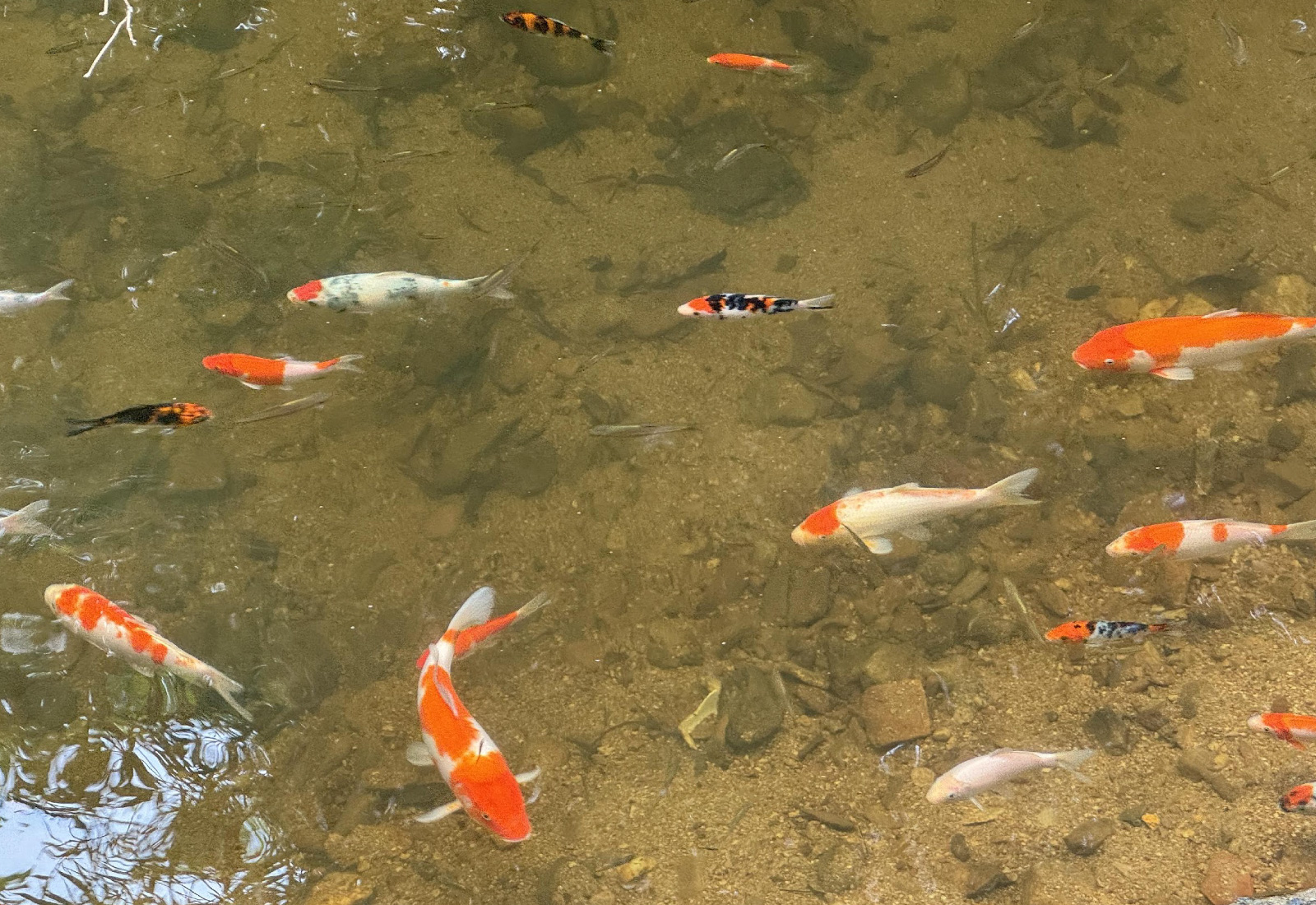
Wu Kau Tang Village is one of the oldest villages in Tai Po. It has a history of more than 400 years. Originally named "Wu Kau Tin", it refers to an area made up with several villages including Lo Wai, Ho Pui, Leng Pui, San Uk Ha, Tin Sum and Sam Ka Tsue. While some of the older cottages have been replaced with more modern dwellings, the rural simplicity and tranquility of the village remains. The Lee Ancestral Hall and the Lau Ancestral Hall are still there. There are also clear streams, abandoned lowland farmland, and cottages in the village.
Checkpoint: https://maps.app.goo.gl/DwScuSLyHnKyUFhT7
Source:Film Services Office
Sam A village
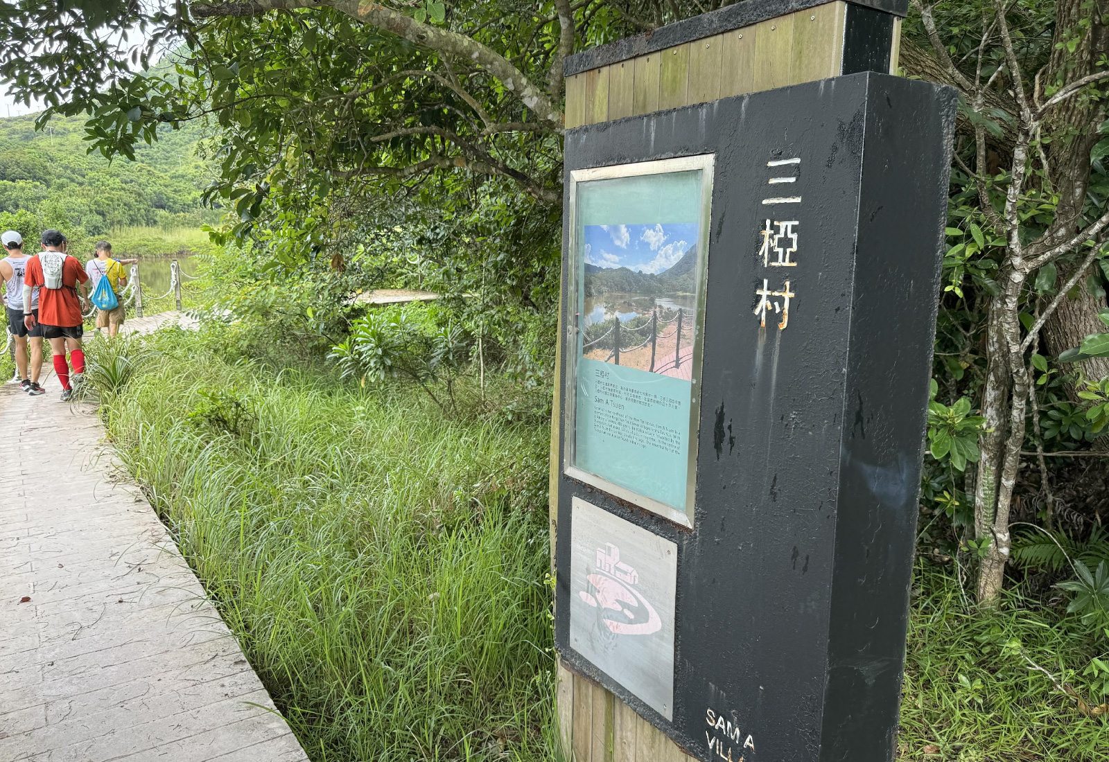
(三椏村) is one of seven villages of the “Hing Chun Alliance” (慶春約). It is situated in the north-easternmost part of the New Territories, adjacent to the Yan Chau Tong area of the Hong Kong UNESCO GeoPark (香港世界地質公園印洲塘). Looking out from the pier, the sea is enveloped by mountain ranges, forming its own enclave like a secluded lake, with pink-coloured rocks scattering along the coast. Sam A is made up of three partitioned residential areas known as “Wai” (圍), with three rivers running through, hence the name Sam(三) A. The village store is well-known among hikers, serving as a supply station along this remote hiking trail.
Checkpoint: https://maps.app.goo.gl/NgF28hjx67N8KA4u8
Source:Rural Common and 沙頭角慶春約[鄉郊保育文化之旅]專頁及沙頭角慶春約十年一屆太平清醮紀念特刊(2019)沙頭角慶春約建醮委員會)
Kop Tong Village
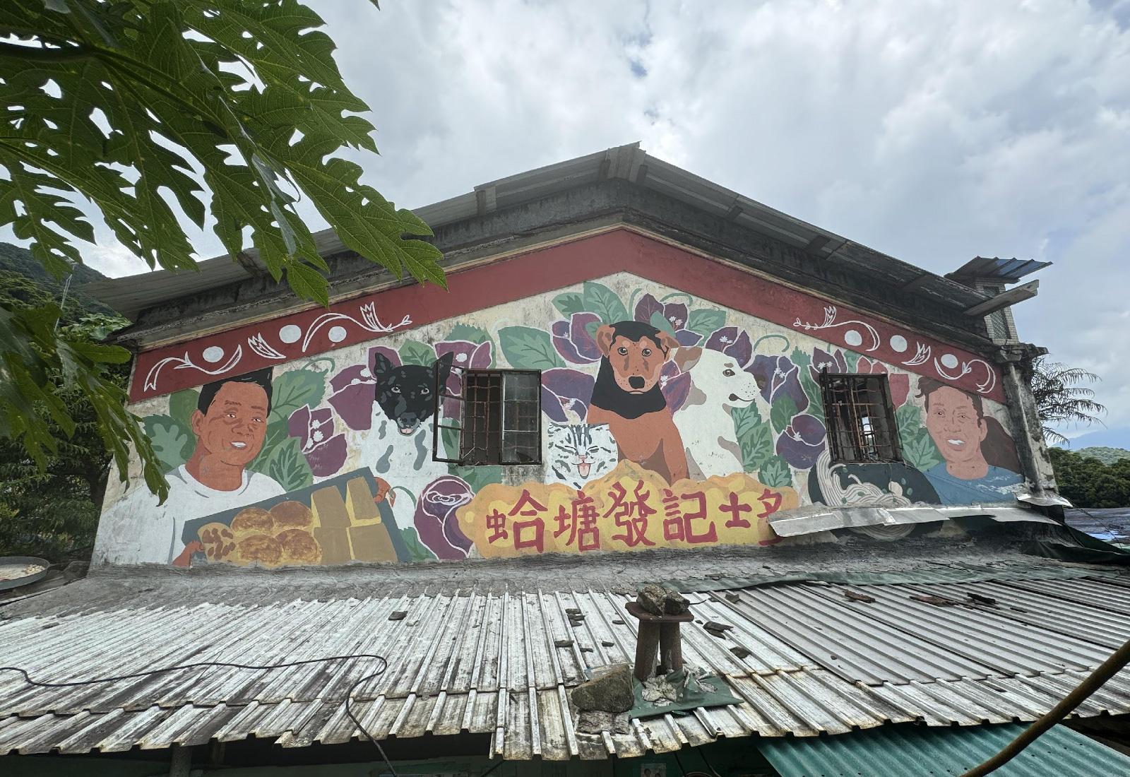
Kop Tong Village is a Hakka village in the North District of Hong Kong, located in the northeastern mountainous area of Sai Wan Country Park. It has a history and culture of over 120 years and is part of the ninth grouping (Qing Chun group) of Sha Tau Kok's ten groups, along with nearby villages such as Lai Chi Wo, Mui Tsai Lin, So Lo Pun, Sam A, and others.Hap Tong Village is currently in a near-abandoned state, featuring the Fan clan ancestral hall, which displays the couplet "Gao Ping Shi Ze, Chang Yuan Jia Sheng" (高平世澤,長遠家聲).
The area around Hap Tong Village has now become an ecological hiking destination, particularly due to a unique tree known as the "Bunwen Tree," which features a remarkable trunk with a branch miraculously inserted into its hollow center, creating a distinctive natural wonder. Notably, famous Hong Kong singer Kwan Siu Keung composed a piece inspired by Hap Tong, Lai Chi Wo, Mui Tsai Lin, and So Lo Pun, which are considered among Hong Kong's top attractions.
Checkpoint: https://maps.app.goo.gl/y7uooBRMoaTcFSeLASource:wikipedia
Mui Tsz Lam Village
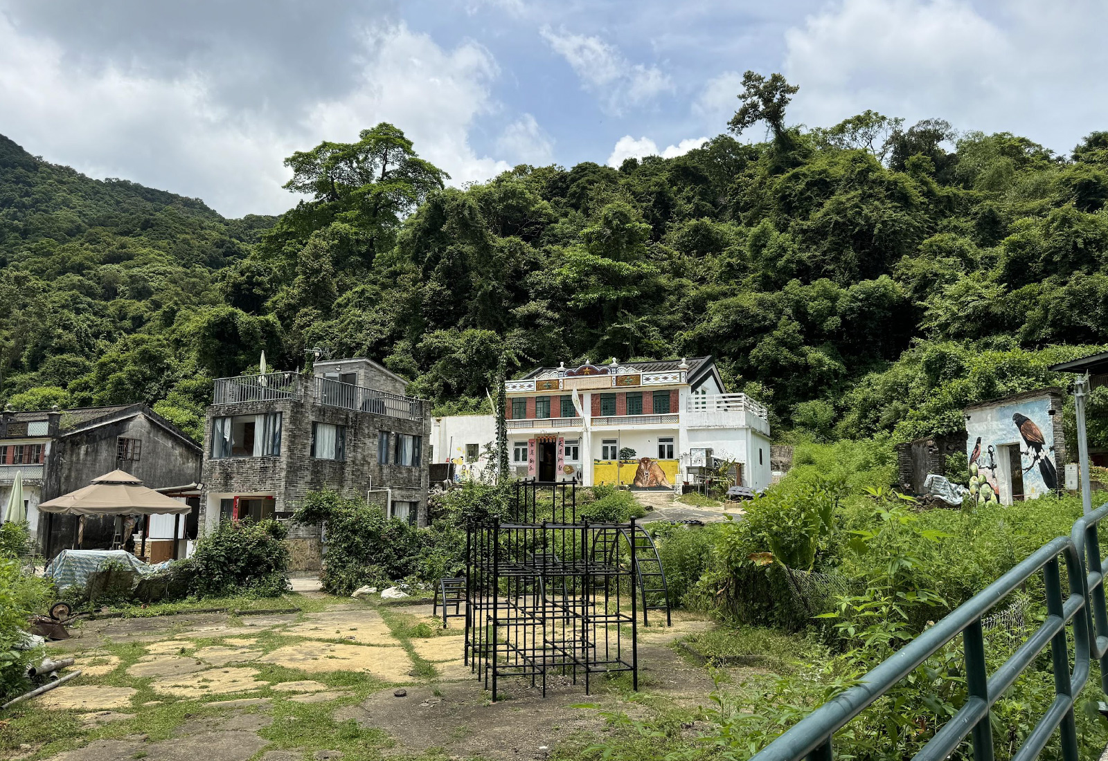
The origin of the clan of Mui Tsz Lam can be traced back to Mr. Tsang Hei Yau, the progenitor inhabited in the area. According to the record of Heung Yee Kuk, he arrived at Mui Tsz Lam from Dongguan Qingxi in 1661, the year when the forced evacuation event (known as the Great Clearance) came under Qing rule. At that time, the Qing imperial government commanded its coastal residents to move 30 to 50 miles inland in hopes of cutting off the supply of Zheng Chenggong, an anti-Qing force. The order was officially issued in 1662 at the first year of the Kangxi era. The Commandar of Guangdong Wang Lairen and the Viceroy of the Two Guangs Zhou Youde realized the suffering of civilians from home displacement and requested the lifting of ban. It was in the 8 th year of Kangxi (1669) that residents could return home when the evacuation was rescinded.
Wong Wai Hing’s selection of Mui Tsz Lam as the location of settlement should be after meticulous considerations on its location and geography. Mui Tsz Lam is in proximity to Tiu Tang Lung, the highest peak in Sha Tau Kok that can overlook the entire Mirs Bay. The village chief of So Lo Pun Mr. Wong Hing Cheung recurred that Wong Wai Hing had established signals with his counterparts in mainland China. When a lantern is hung on the top of the hill, the military forces should reinforce each other, which has also been the origin of the name Tiu Tang Lung (literally means “hanging the lantern”). After Tsang and Wong established their village in Lai Cho Wo, the population grew day by day. Whilst the Wongs started to relocate to So Lo Pun since its fourth generation, the Tsangs branched out to Ngau Shi Wu and Siu Tan to establish other villages. The grandchildren of Tsang Hei Yau also returned to Mui Tsz Lam and carried on the family.
Mui Tsai Lin has a revitalization and conservation project; for more details, please visit:https://mtl-story.org/documentary
Checkpoint: https://maps.app.goo.gl/kXb2PEd3onusB4vp7Source:「Participatory Action Research on Countryside Conservation and Revitalization at Mui Tsz Lam, Hing Chun Yeuk」
Lai Chi Wo Village
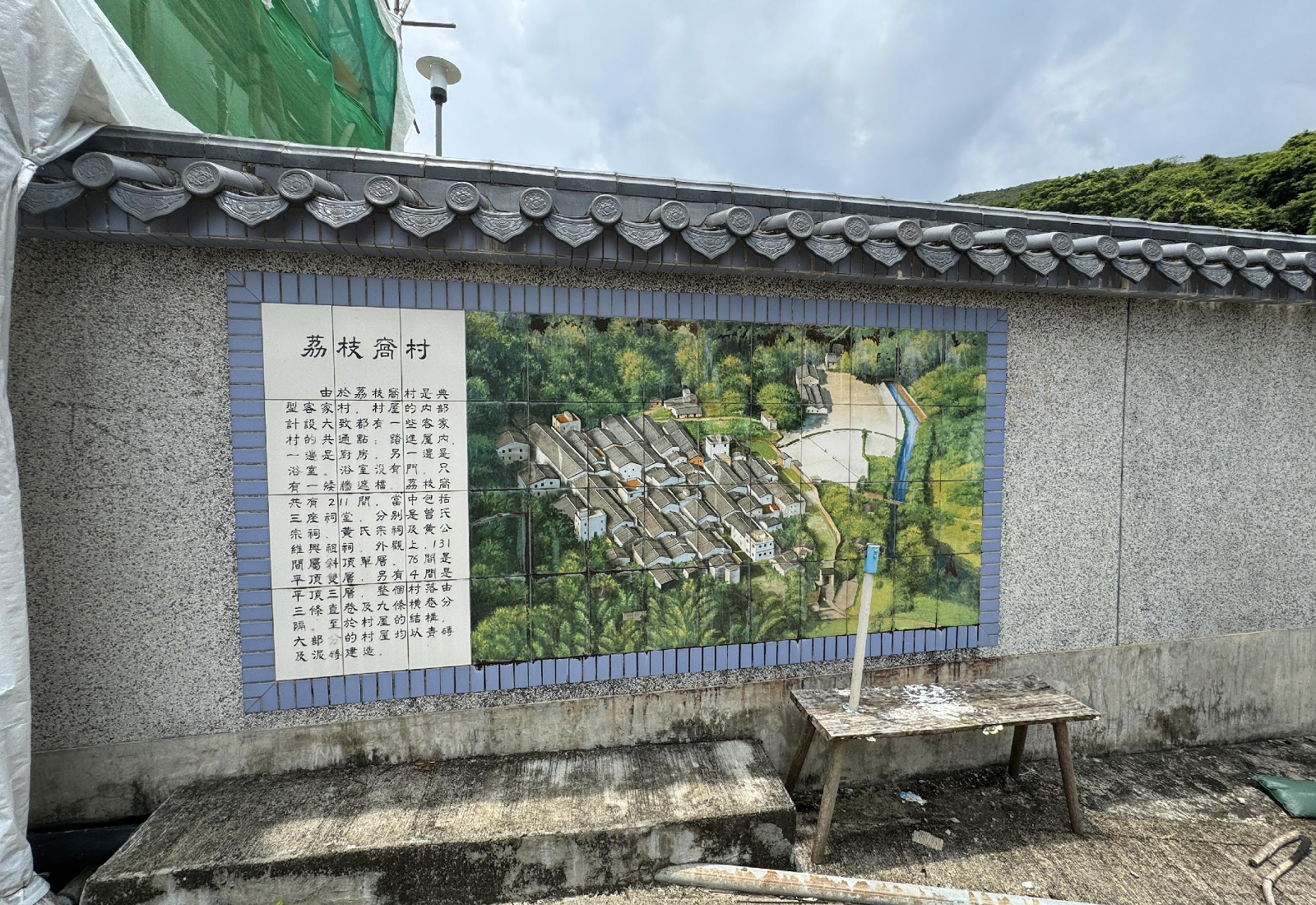
Unwind in the enchanting historic Hakka village of Lai Chi Wo, flanked by the lush ‘fung shui’ wood and mangrove forest near the New Territories’ northeast coast. The walled village of more than 200 picturesque hillside homes — auspiciously arranged in rows when built more than 300 years ago — is one of Hong Kong’s oldest, largest and best-preserved rural settlements. The village won UNESCO’s prestigious 2020 Special Recognition for Sustainable Development award for promoting cultural heritage conservation. Stroll along tree-shrouded Lai Chi Wo Nature Trail, home to many species of mammals and butterflies, and take selfies beside a dramatic mangrove forest and stunning coastal scenery.
Checkpoint: https://maps.app.goo.gl/nBjdMehwCobXabUT7Source:Hong Kong Toursim Board
So Lo Pun Village
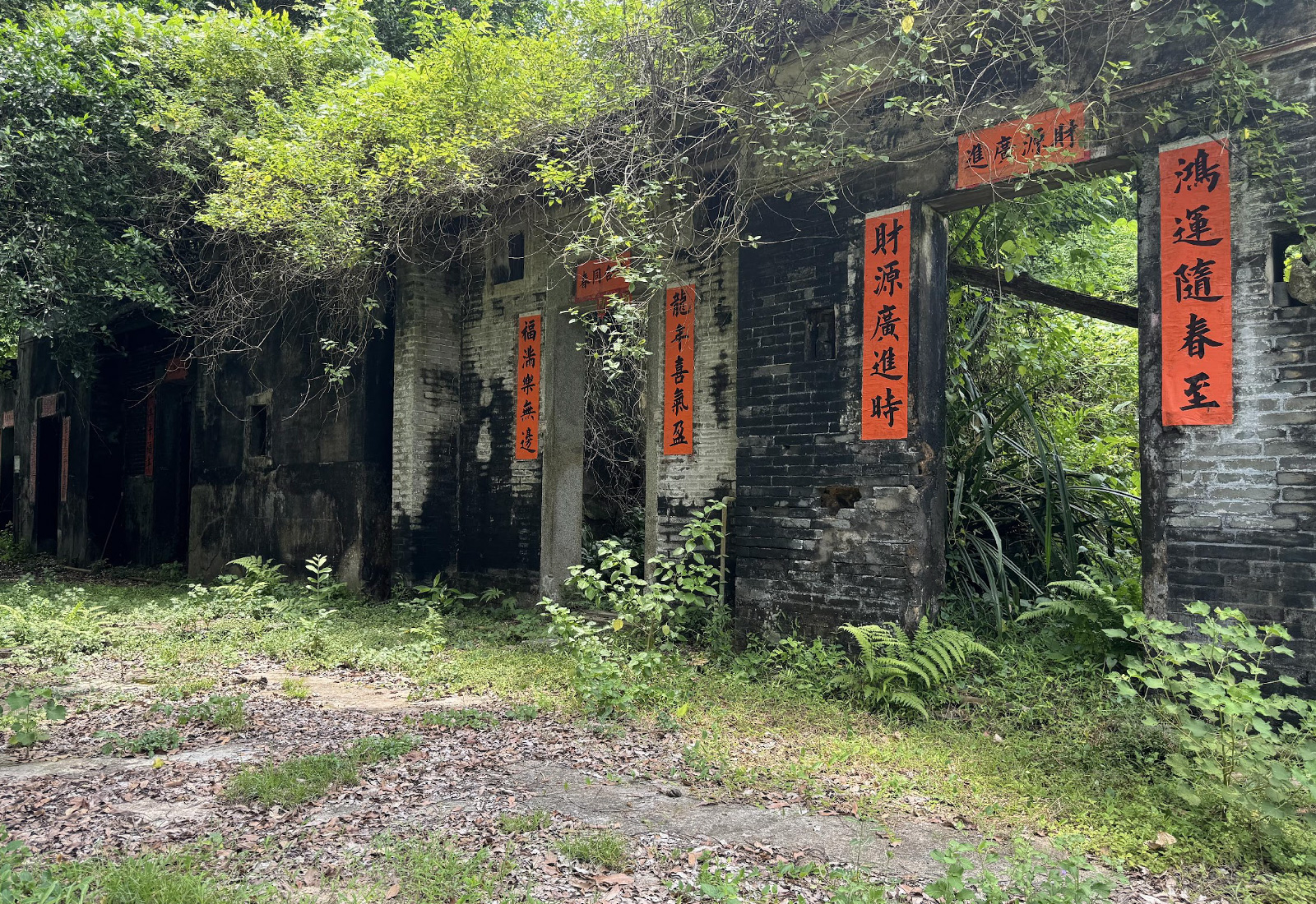
So Lo Pun is a village in the northeastern New Territories of Hong Kong, within the Plover Cove Country Park. It is located northwest of Lai Chi Wo and northeast of Kuk Po. Today, the village is derelict and is uninhabited. Descendants of the former inhabitants have either emigrated abroad or have relocated to more urbanized parts of Hong Kong.
According to urban legend, the village is haunted.[1] Hikers have also reported that compasses tend to stop working when they enter the village area, leading to the village being dubbed 'So Lo Pun', which in Chinese literally means that 'the compass is locked'.
Checkpoint: https://maps.app.goo.gl/W2oX4pchXgc4rDeD8Source:wikipedia
Yung Shue Au Village
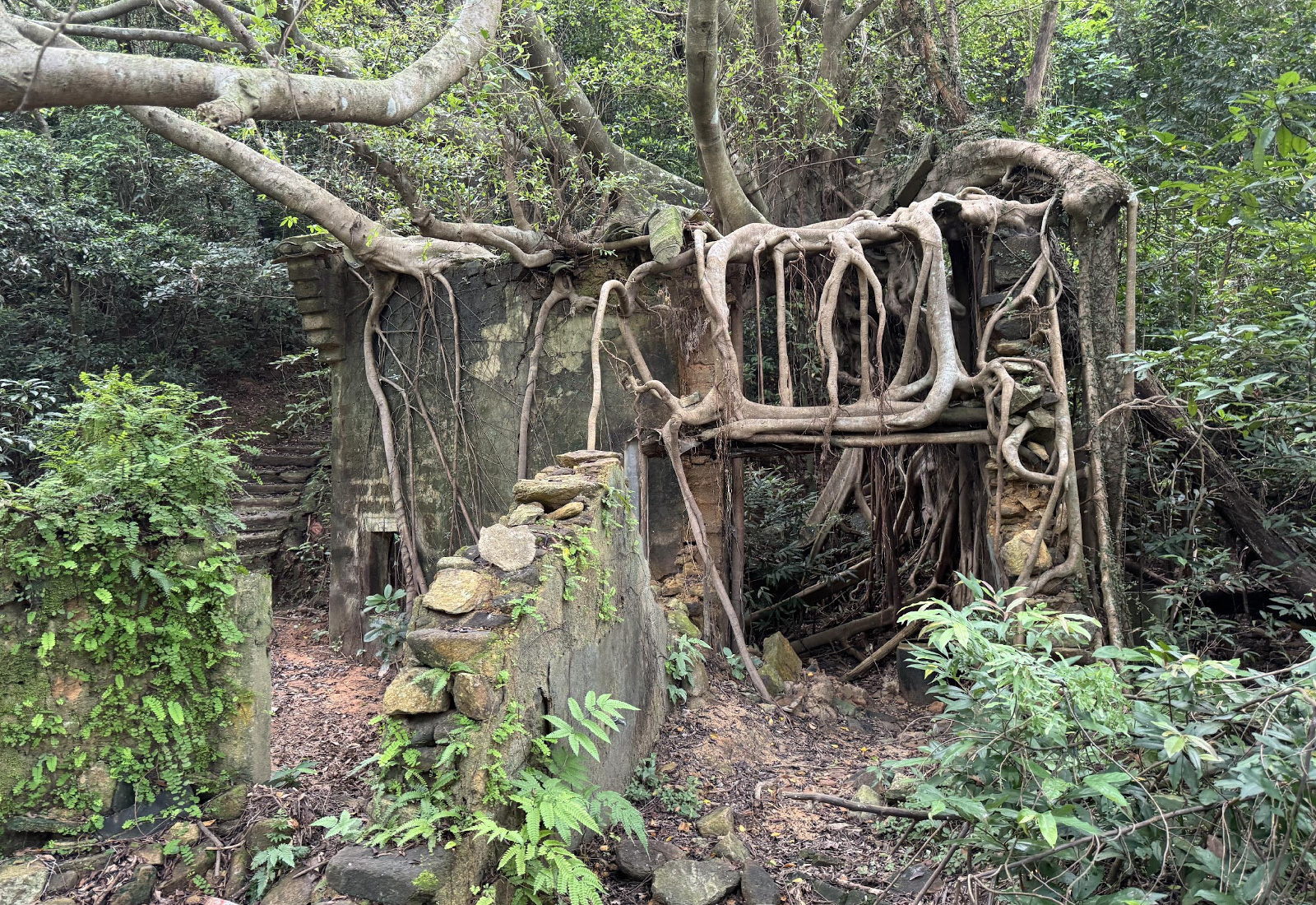
Yung Shue Au Village, also known as "Nong Shu Ao," "Yung Shu Ao," or "Yung Shu O," is a Hakka village located at the northeastern end of the Sai Wan area in the North District of Hong Kong's New Territories. It was founded by Wen Man Cheung, who, during the Kangxi era, moved with his brothers Wen Sin Cheung and Wen Wai Cheung from Bu Wei Wei in Zhenlongdong, Huizhou County to Sham Shui Hang Village in Sha Tau Kok, New Territories, Hong Kong. Subsequently, Wen Sin Cheung remained in Sham Shui Hang to expand, while Wen Man Cheung developed wasteland to establish Yung Shu O Village, and Wen Wai Cheung moved to Sai Kung District in the New Territories for development.
In the 1980s, the British military set up a camp in Yung Shu O Village, which was withdrawn after 1997.
Checkpoint: https://maps.app.goo.gl/cJcv3bRdgYZ2WCs77Source:wikipedia
Kuk Po Village
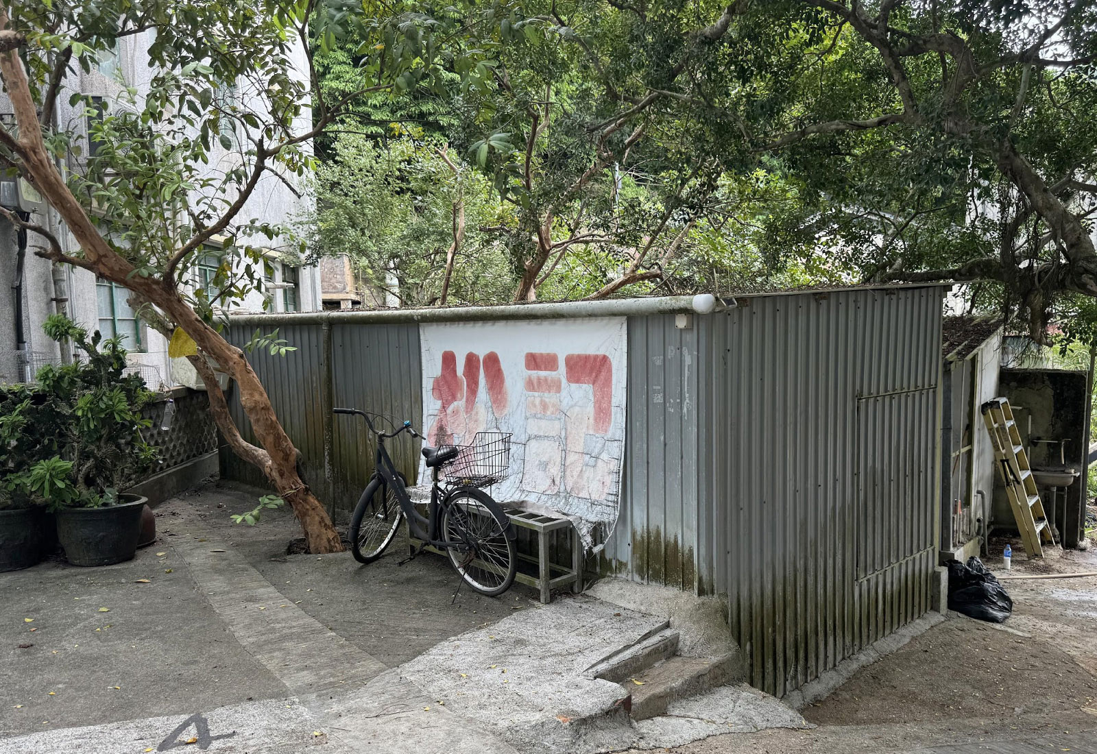
Kuk Po is a Hakka village with a history of over three centuries. From the 17th to the 18th century, the Yangs, the Sungs, the Lees, the Hos, the Chengs, and others migrated to the village, building embankments, opening up paddy fields and constructing water gates and other hydraulic facilities. By the late Qing Dynasty, Kuk Po’s population exceeded five hundred. One of the closest villages to the Sha Tau Kok ferry pier, Kuk Po served as an important transportation hub of the Sha Tau Kok (沙頭角) inlet and Shuen Wan (船灣) north-eastern coastline. Kuk Po also had its own school and was independent of the ‘alliance of ten’ in Sha Tau Kok (沙頭角十約).
Checkpoint: https://maps.app.goo.gl/jKHVMqQ59WxwwFq19資料來源”村里故事”及摘自谷埔願景展覽手冊 p.15,17,73 (2022)香港大學中國建築與城市研究中心shorturl.at/nCUW5)
Fung Hang Village
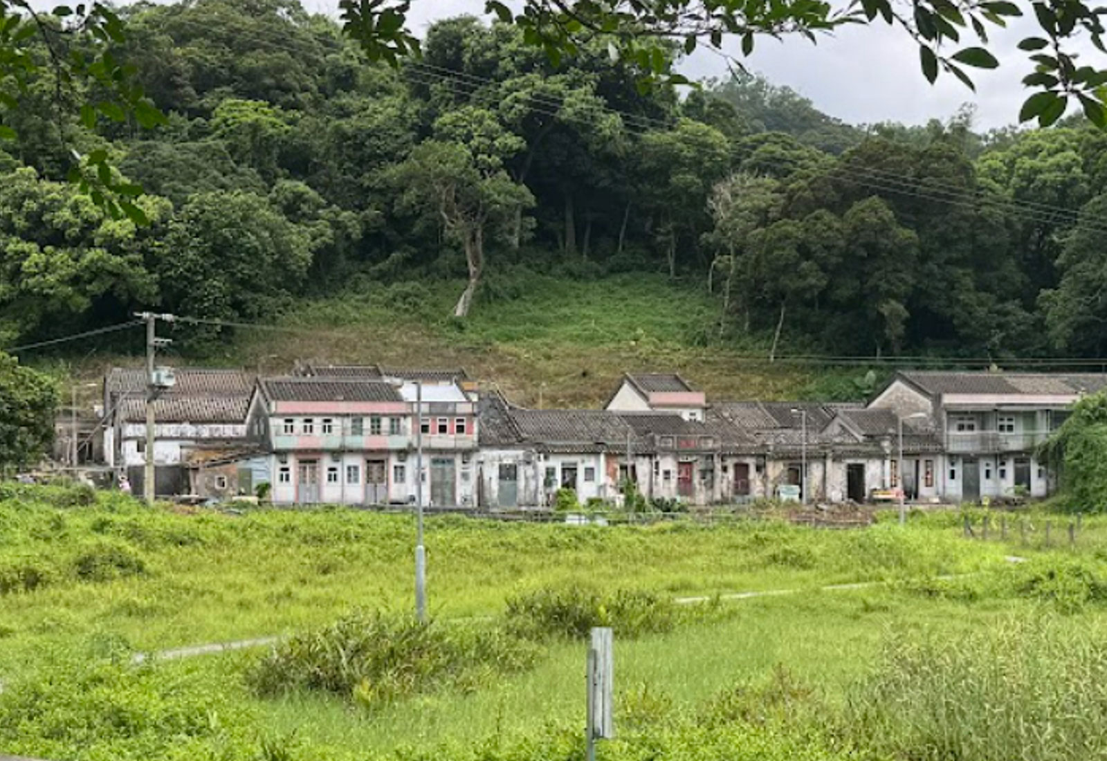
Fung Hang (Chinese: 鳳坑) is a village in the north eastern New Territories of Hong Kong, to the south west of the Sha Tau Kok Hoi or Starling Inlet, opposite the town of Sha Tau Kok. It is a single-clan Hakka village of the Cheung (張) Clan located between Luk Keng and Kuk Po. The Cheungs, previously established in Kuk Po, moved to Fung Hang in 1671, shortly after the end of the Great Clearance. They were farmers engaged in fishing and later concentrated in rice and vegetables growing. Most of the villagers have moved overseas or to other areas of Hong Kong. At the time of the 1911 census, the population of Fung Hang was 143. The number of males was 61.
Checkpoint: https://maps.app.goo.gl/n6c4hqarvqCW8zV79Source:wikipedia | Rural Common
Add-ons
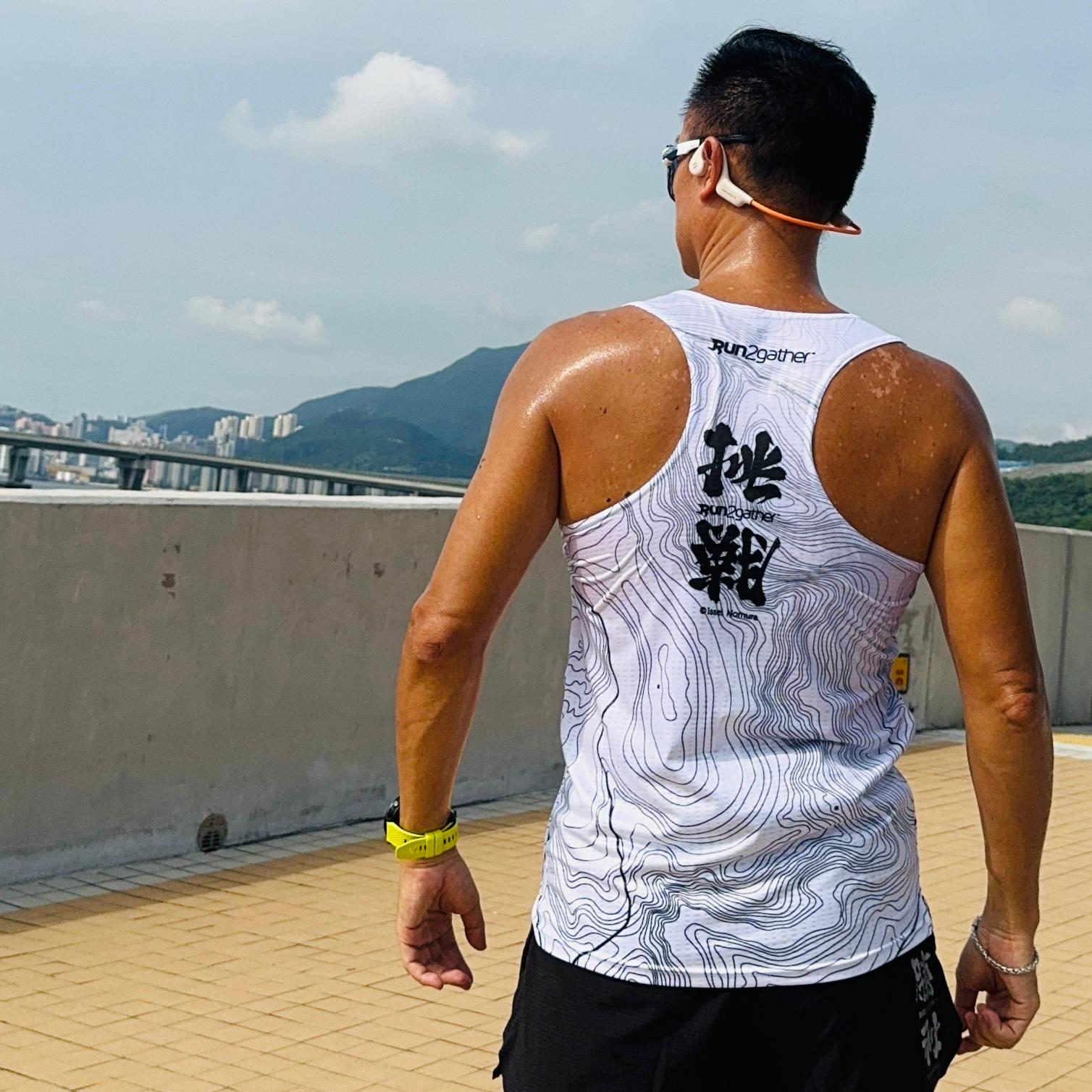
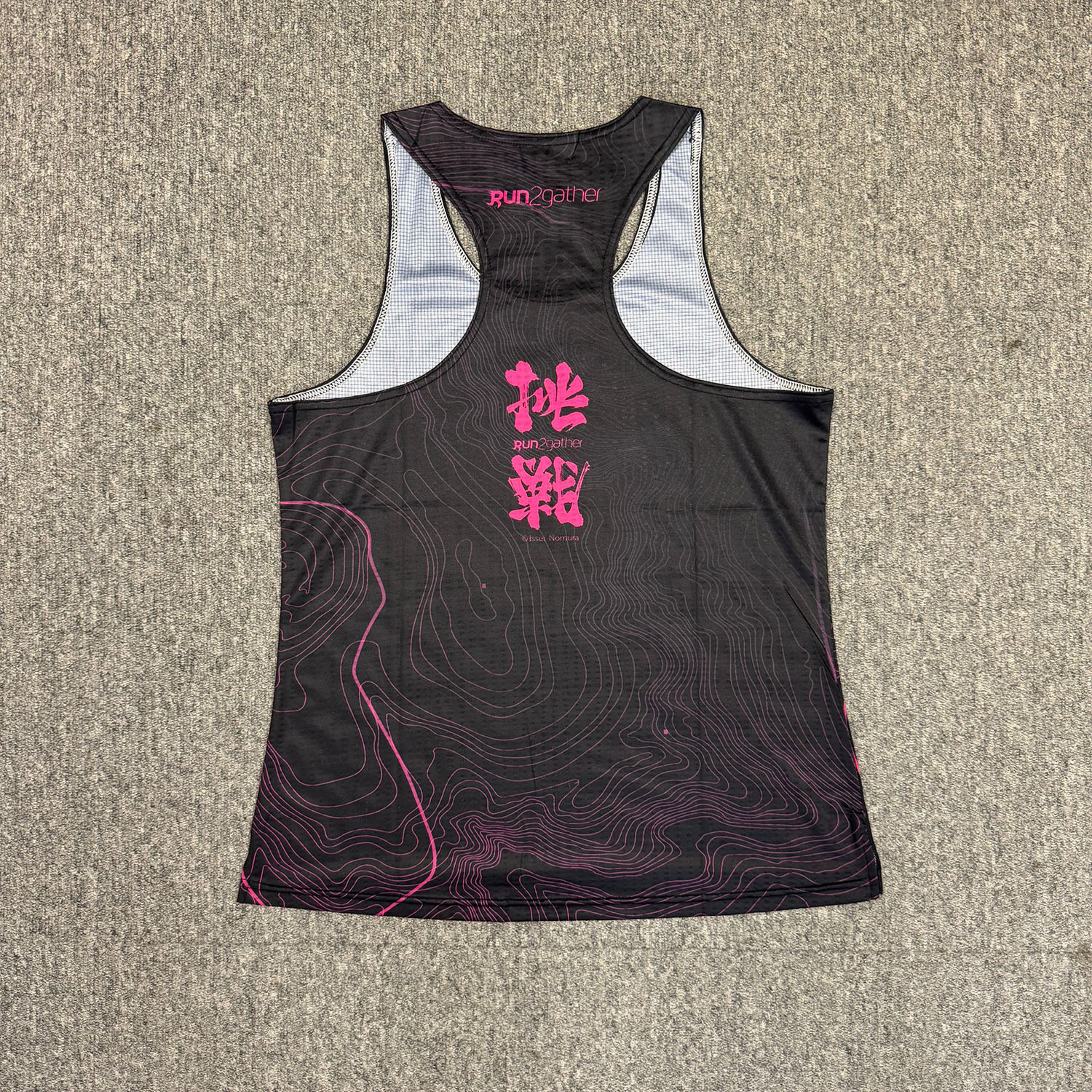
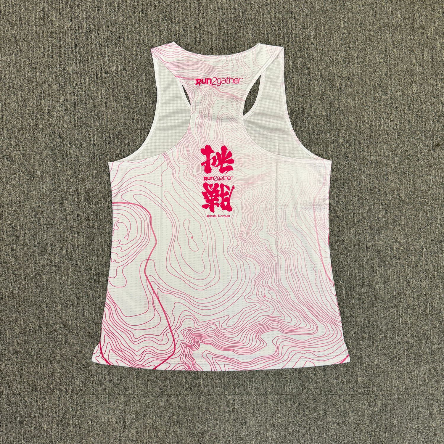
Event Tee Discount HK$150 (Original Price HK$180)

Challenge Victory Series 2 – Men’s and Women’s Running singlet, Purchase price: $150 (Original price: $180)
M1 (White)

M2 (Black)


F1 (Black)

F2 (White)

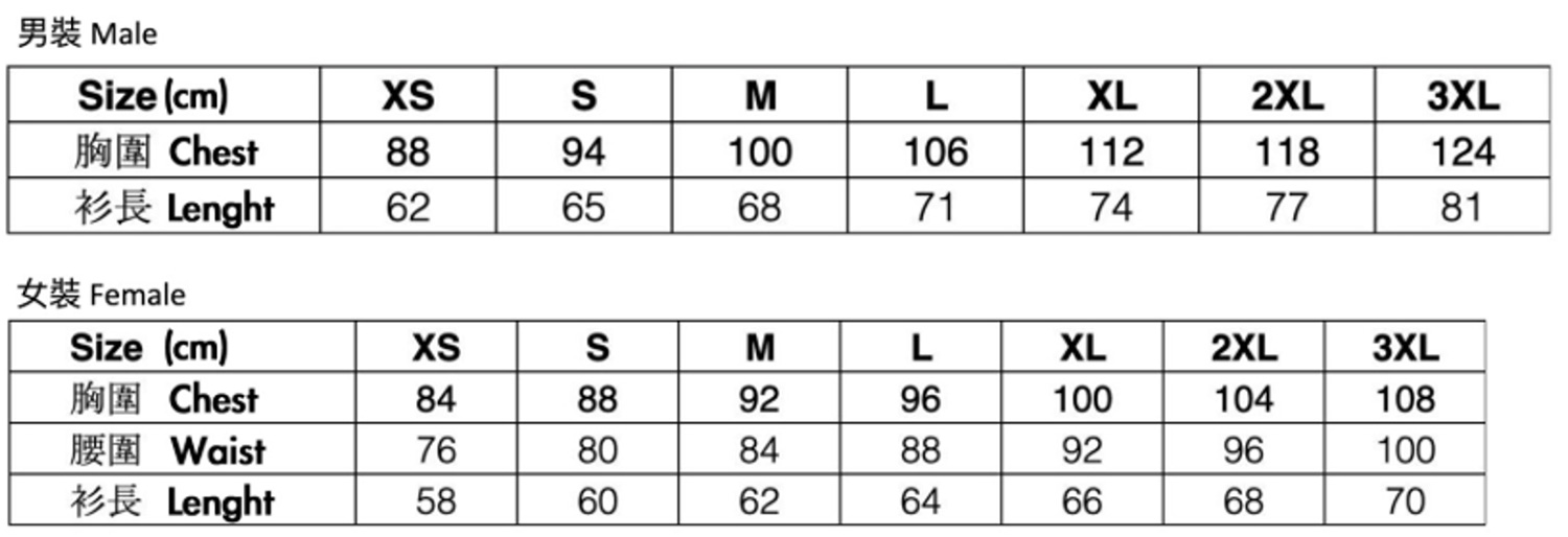
Singlet size chart

Delivery and Pick-up arrangement
- Participant can choose (A) Deliver by SF Express, or (B) Self-collection at R2 designated Pick-up point, and it if free of charge.
- For choosing (A) Deliver by SF Express, Participant is required to pay the delivery charge upon receiving the pack. If choosing SF station/EF Locker as the delivery address, please fill-in the respective location code of the Station/ EF-Locker.
- Participant is required to pay for courier charge of SF Express if Participant failed to pick up the medal and finisher pack within the mandated period; R2 will send the medal & finisher pack to the “Delivery Address” provided and Participate is required to pay for the delivery charge.
- Please look up here for the location code of the Station/ EF-Locker.
Rules
Participant must use the Apps designated by Run2gather to record the running record and Upload the record or screen capture to Run2gather’s website; R2 will disqualify for who failed to upload within the mandated period or the uploaded distance is insufficient. Participant must use the Apps designated by Run2gather to record the running record Press here for designated or approved Apps.- Complete your race distance with one or more running session (before 15 Dec 2024)
- Upload the running record onto Run2gather’s website (before 16 Dec 2024)
- Completion Award: Medal & Completion Certificate (around 25 Dec 2024)
- Engraving Text on Medal
- Non-refundable and non-transferable of race quota
- "No award for unfinish participant". Furthermore, online run is a self-discipline game, Run2gather will check the uploaded running record regularly. R2 will exercise its discretion to disqualify the participate and/ or suspend the User account if ingenuine record is identified.
- Deliver Medal & arrange Self-pickup (around the mid-Jan 2025 to the end-Jan 2025)
